Phippsburg, Colorado | |
|---|---|
 Entering Phippsburg on State Highway 131, February 2011 | |
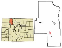 Location of the Phippsburg CDP in Routt County, Colorado. | |
 Phippsburg Location of the Phippsburg CDP in the United States. | |
| Coordinates: 40°13′49″N106°57′03″W / 40.23028°N 106.95083°W [1] | |
| Country | |
| State | |
| County | Routt County |
| Government | |
| • Type | unincorporated town |
| Area | |
• Total | 1.186 sq mi (3.072 km2) |
| • Land | 1.186 sq mi (3.072 km2) |
| • Water | 0 sq mi (0.000 km2) |
| Elevation | 7,487 ft (2,282 m) |
| Population | |
• Total | 234 |
| • Density | 197/sq mi (76.2/km2) |
| Time zone | UTC-7 (MST) |
| • Summer (DST) | UTC-6 (MDT) |
| ZIP Code [4] | 80469 |
| Area code | 970 |
| GNIS feature | 2583279 [1] |
Phippsburg is a census-designated place (CDP) and a post office in and governed by Routt County, Colorado, United States. The population was 234 at the 2020 census. [3] The CDP is a part of the Steamboat Springs, CO Micropolitan Statistical Area. The Phippsburg post office has the ZIP Code 80469 (post office boxes). [4]
