
Gloucester County was one of the original Nineteen Counties in New South Wales, and is now one of the 141 cadastral divisions of New South Wales. It includes the area around Port Stephens. It is bounded on the north and west by the Manning River, and on the south-west by the Williams River.

Northumberland County was one of the original Nineteen Counties in New South Wales and is now one of the 141 cadastral divisions of New South Wales. It included the area to the north of Broken Bay, which compasses the Central Coast region and Lake Macquarie as well as Newcastle(Greater Newcastle) in the Hunter region. It was bounded by the part of the Hawkesbury River to the south, the Macdonald River to the south-west, and the Hunter River to the north.

Roxburgh County was one of the original Nineteen Counties in New South Wales and is now one of the 141 cadastral divisions of New South Wales. It includes the area to the north east of Bathurst, lying to the north and east of the Fish River to the junction of the Turon River. It includes Sofala. The Gudgegong River is the border to the north.

Yancowinna County is one of the 141 cadastral divisions of New South Wales.

Sandon County is one of the 141 cadastral divisions of New South Wales. It is centred on Armidale, and also includes Uralla.
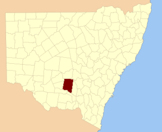
Cooper County is one of the 141 cadastral divisions of New South Wales. It contains the town of Barellan. The Murrumbidgee River is the southern boundary.

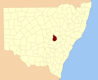
Sturt County is one of the 141 cadastral divisions of New South Wales. It contains the locality of Carrathool. The Murrumbidgee River is the southern boundary.

Blaxland County is one of the 141 cadastral divisions of New South Wales. It is bounded to the south by the Lachlan River and a small part of Waverley Creek. It includes Mount Hope and the Nombinnie Nature Reserve.

Evelyn County is one of the 141 cadastral divisions of New South Wales, Australia.

Farnell County is one of the 141 cadastral divisions of New South Wales.
Gordon County is one of the 141 cadastral divisions of New South Wales. The Macquarie River is the north-eastern boundary.

Gowen County is one of the 141 cadastral divisions of New South Wales. It is located to the east of the Castlereagh River in the area to the east of Gilgandra, to Coonabarabran in the north-east. This includes land on both sides of the Newell Highway.

Gunderbooka County is one of the 141 cadastral divisions of New South Wales.

Irrara County is one of the 141 cadastral divisions of New South Wales. It is located south of the border with Queensland, east of the Paroo River, and west of the Warrego River.

Kennedy County is one of the 141 cadastral divisions of New South Wales. It is located to the west of the Bogan River in the area around Tottenham and Tullamore.

Mouramba County is one of the 141 cadastral divisions of New South Wales.

Oxley County, New South Wales is one of the 141 cadastral divisions of New South Wales. It is located between the Bogan River on the west, and the Macquarie River on the east. This is the area approximately between Warren and Nyngan.
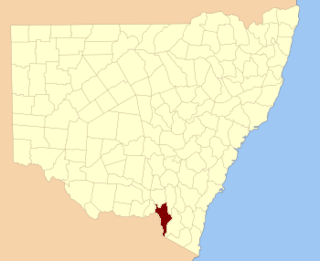
Selwyn County is one of the 141 cadastral divisions of New South Wales. It is located to the east of the Murray River, with part of the Tumut River as its boundary to the north-east. It includes Mount Kosciuszko, the highest mountain in Australia.

Tongowoko County is one of the 141 cadastral divisions of New South Wales. It is located in the remote north-west of the state, south of the Queensland border.

Yungnulgra County is one of the 141 cadastral divisions of New South Wales.
