Caldicot was an ancient hundred of Monmouthshire, Wales.

Abergavenny was an ancient hundred of Monmouthshire.

Usk was an ancient hundred of Monmouthshire.

Raglan is a village and community in Monmouthshire, south east Wales, United Kingdom. It is located some 9 miles south-west of Monmouth, midway between Monmouth and Abergavenny on the A40 road very near to the junction with the A449 road. The fame of the village derives from its castle, Raglan Castle, built for William ap Thomas and now maintained by Cadw.
Tregare is an ancient parish on the northern border of the Raglan hundred of Monmouthshire in southeast Wales.
Southern Monmouthshire was a parliamentary constituency in Monmouthshire. It returned one Member of Parliament (MP) to the House of Commons of the Parliament of the United Kingdom.

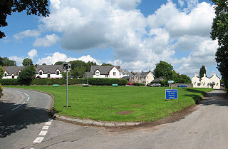
Llanvihangel Crucorney is a small village in the community (parish) of Crucorney, Monmouthshire, Wales. It is located 5 miles (8.0 km) north of Abergavenny and 18 miles (29 km) south-west of Hereford, England on the A465 road.
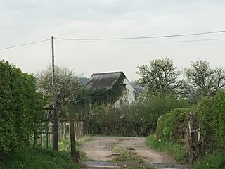
Llanvihangel-Ystern-Llewern is a village in Monmouthshire, south east Wales. It is located between Abergavenny and Monmouth and north of Raglan. The River Trothy passes close by.

Pen-y-clawdd is a village in Monmouthshire, south east Wales, situated between Raglan and Monmouth. The village is the site of a medieval fortification and there is a historic church with an ancient cross in the churchyard which is a scheduled monument.
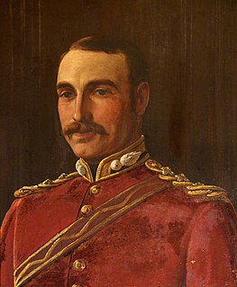
Colonel Sir Joseph Alfred Bradney, was a British soldier, historian and archaeologist, best known for his multivolume A History of Monmouthshire from the Coming of the Normans into Wales down to the Present Time.
The office of High Sheriff of Gwent was established in 1974 under section 219 of the Local Government Act 1972, replacing the shrievalty of Monmouthshire.

Pen-y-Clawdd Court is a Grade I listed country house in Llanvihangel Crucorney, Monmouthshire, Wales, situated 1 mile (1.6 km) to the southwest of the village off the A465 road. It is a Tudor manor house, which lies within the bailey of what was Penyclawdd Castle, and is thought to date from circa 1625.

Monmouth Poor Law Union was formed on 11 July 1836 in Monmouth, Wales

Monmouthshire is a county and principal area of Wales. It borders Torfaen and Newport to the west; Herefordshire and Gloucestershire to the east; and Powys to the north. The largest town is Abergavenny, with other towns and large villages including Caldicot, Chepstow, Monmouth, Magor and Usk. The present county was formed under the Local Government (Wales) Act 1994, and comprises some sixty percent of the historic county. Between 1974 and 1996, the county was known by the ancient title of Gwent, recalling the medieval Welsh kingdom. The county is 850 km2 in extent, with a population of 93,600.

Llwyn-celyn Farmhouse, Llanvihangel Crucorney, Monmouthshire is a farmhouse of late medieval origins. It is a Grade I listed building.

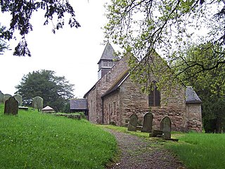
The Church of St Michael, Llanvihangel Gobion, Monmouthshire is a parish church with datable origins to the 15th century. There is no record of a Victorian restoration, although one must have occurred, but there is documented evidence of a "light" reconstruction in 1925. Since the date, the church has barely been altered. It remains an active parish church and a Grade II* listed building.

Gelli Farmhouse, Llanvetherine, Monmouthshire, is a farmhouse dating from the early 17th century. The settlement at Gelli-wig has a recorded history dating from the 14th century. The house is Grade II* listed.
Pen-y-clawdd Farmhouse, Raglan, Monmouthshire is a gentry house dating from the early 17th century. Owned by the Bradburys, High Sheriffs of Monmouthshire, and later by the Williams family and then the Prichards of Penallt, it remains a privately-owned farmhouse. The building is Grade II* listed.