Republican Township | |
|---|---|
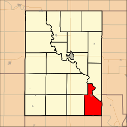 Location in Clay County | |
| Coordinates: 39°11′30″N097°00′31″W / 39.19167°N 97.00861°W | |
| Country | United States |
| State | Kansas |
| County | Clay |
| Area | |
• Total | 32.26 sq mi (83.55 km2) |
| • Land | 28.24 sq mi (73.14 km2) |
| • Water | 4.02 sq mi (10.41 km2) 12.46% |
| Elevation | 1,188 ft (362 m) |
| Population (2000) | |
• Total | 1,024 |
| • Density | 36/sq mi (14/km2) |
| GNIS feature ID | 0476193 |
Republican Township is a township in Clay County, Kansas, United States. As of the 2000 census, its population was 1,024.
