Rietavas Municipality Rietavo savivaldybė | |
|---|---|
 Coat of arms | |
 Location of Rietavas municipality within Lithuania | |
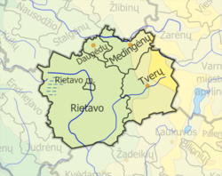 Map of Rietavas municipality | |
| Country | |
| Ethnographic region | Samogitia |
| County | Telšiai County |
| Capital | Rietavas |
| Elderships | 5 |
| Area | |
• Total | 586 km2 (226 sq mi) |
| • Rank | 45th |
| Population (2021 [1] ) | |
• Total | 7,381 |
| • Rank | 58th |
| • Density | 13/km2 (33/sq mi) |
| • Rank | 57th |
| Time zone | UTC+2 (EET) |
| • Summer (DST) | UTC+3 (EEST) |
| Telephone code | 448 |
| Major settlements | Rietavas (pop. 3,234) |
| Website | www |
Rietavas Municipality is one of 60 municipalities in Lithuania.
According to the 2021 Lithuanian census, Rietavas Municipality had the highest fertility rate in Lithuania - with an average of 2.019 children per woman, compared to the national average of just 1.506 children per woman. [2]