| Robbedale Formation | |
|---|---|
| Stratigraphic range: Mid Berriasian ~ | |
| Type | Geological Formation |
| Unit of | Nyker Group |
| Sub-units | Østerborg & Langebjerg Members |
| Underlies | Jydegaard Formation |
| Overlies | Rabekke Formation |
| Lithology | |
| Primary | Sandstone |
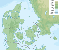
| Location | |
| Coordinates | 55°12′N15°00′E / 55.2°N 15.0°E |
| Approximate paleocoordinates | 46°36′N21°42′E / 46.6°N 21.7°E |
| Region | Bornholm |
| Country | Denmark |
 Robbedale Formation (Denmark) | |
The Robbedale Formation is a geological formation dating to the Berriasian age of the Early Cretaceous, about 142 million years ago. [1] It is on the island of Bornholm, Denmark. [2]