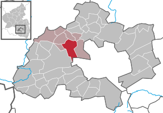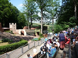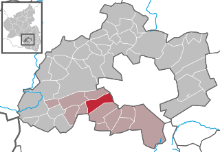
Ramstein-Miesenbach is a municipality in the district of Kaiserslautern in Rhineland-Palatinate in Germany, adjacent to the US Ramstein Air Base.

Weilerbach is a municipality in the district of Kaiserslautern, in Rhineland-Palatinate, Germany. It is situated approximately 11 km north-west of Kaiserslautern.

Schwedelbach is a community in the district of Kaiserslautern, southern Rhineland-Palatinate, Germany. It is part of the Verbandsgemeinde Weilerbach.

Rockenhausen is a town in the Donnersbergkreis, in Rhineland-Palatinate, Germany. It is situated on the river Alsenz, approx. 30 km (19 mi) north of Kaiserslautern.

Enkenbach-Alsenborn is a municipality in the district of Kaiserslautern, in Rhineland-Palatinate, Germany. It is situated on the northern edge of the Palatinate forest, approx. 10 km north-east of Kaiserslautern. Enkenbach-Alsenborn is also the seat of the Verbandsgemeinde, also named Enkenbach-Alsenborn.

Berglangenbach is an Ortsgemeinde – a municipality belonging to a Verbandsgemeinde, a kind of collective municipality – in the Birkenfeld district in Rhineland-Palatinate, Germany. It belongs to the Verbandsgemeinde of Baumholder, whose seat is in the like-named town.

Schallodenbach is municipality in the district Kaiserslautern of Rhineland-Palatinate, Germany.

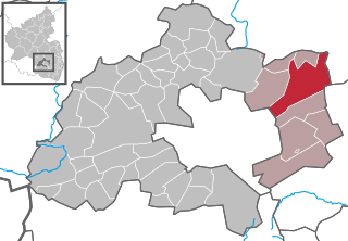
Ebertsheim is an Ortsgemeinde – a municipality belonging to a Verbandsgemeinde, a kind of collective municipality – in the Bad Dürkheim district in Rhineland-Palatinate, Germany.

Schmittweiler is an Ortsgemeinde – a municipality belonging to a Verbandsgemeinde, a kind of collective municipality – in the Bad Kreuznach district in Rhineland-Palatinate, Germany. It belongs to the Verbandsgemeinde of Meisenheim, whose seat is in the like-named town.

Berschweiler bei Baumholder is an Ortsgemeinde – a municipality belonging to a Verbandsgemeinde, a kind of collective municipality – in the Birkenfeld district in Rhineland-Palatinate, Germany. It belongs to the Verbandsgemeinde of Baumholder, whose seat is in the like-named town. Berschweiler bei Baumholder is one of two municipalities in the district with the name Berschweiler. The two are distinguished from each other by their geographical “tags”; the other one is called Berschweiler bei Kirn.

Eulenbis is a municipality in the district of Kaiserslautern, in Rhineland-Palatinate, Germany.

Katzweiler is a municipality in the district of Kaiserslautern, in Rhineland-Palatinate, western Germany.

Kollweiler is a municipality in the district of Kaiserslautern, in Rhineland-Palatinate, western Germany.

Mackenbach is a municipality in the district of Kaiserslautern, in Rhineland-Palatinate, western Germany. it is home to numerous restaurants and bay about 8 beauty salons and one grocery store

Mehlingen is a municipality in the district of Kaiserslautern, in Rhineland-Palatinate, western Germany.

Schneckenhausen is a municipality in the district of Kaiserslautern, in Rhineland-Palatinate, western Germany.

Queidersbach is a municipality in the district of Kaiserslautern, in Rhineland-Palatinate, western Germany.

Schopp is a municipality in the district of Kaiserslautern, in Rhineland-Palatinate, western Germany. Schopp station lies on the Biebermühl Railway.

Bann is a municipality in the district of Kaiserslautern, in Rhineland-Palatinate, western Germany. Located in the Steinalb valley with the Palatinate Forest bordering it to the east.

Linden is a municipality in the district of Kaiserslautern, in Rhineland-Palatinate, western Germany.


