Chettisham Meadow is a 0.7-hectare (1.7-acre) biological Site of Special Scientific Interest west of Chettisham, 3 km (2 mi) north of Ely in Cambridgeshire. It is managed by the Wildlife Trust for Bedfordshire, Cambridgeshire and Northamptonshire.

High House Meadows, Monewden is a three hectare biological Site of Special Scientific Interest west of Monewden in Suffolk.
Soham Wet Horse Fen is a 33.8-hectare (84-acre) biological Site of Special Scientific Interest east of Soham in Cambridgeshire. A 3.6-hectare (8.9-acre) field in the north-west corner is managed by the Wildlife Trust for Bedfordshire, Cambridgeshire and Northamptonshire as Soham Meadow.

Monewden Meadows is a 3.7-hectare (9.1-acre) biological Site of Special Scientific Interest south-west of Monewden in Suffolk. It is a Nature Conservation Review site, Grade I, and it is managed by the Suffolk Wildlife Trust under the name Martins' Meadows.

Metfield Meadow is a 1.3-hectare (3.2-acre) biological Site of Special Scientific Interest west of Halesworth in Suffolk. It is owned and managed by Suffolk Wildlife Trust under the name Winks Meadow.

Sawston Hall Meadows is a 7.4-hectare (18-acre) biological Site of Special Scientific Interest in Sawston in Cambridgeshire.

Hemingford Grey Meadow is a 0.7-hectare (1.7-acre) biological Site of Special Scientific Interest south of Hemingford Grey in Cambridgeshire. It is managed by the Wildlife Trust for Bedfordshire, Cambridgeshire and Northamptonshire as Arthur's Meadow.

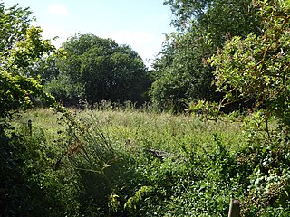
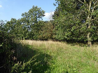
Laurel Farm Meadow is a 1.6-hectare (4.0-acre) biological Site of Special Scientific Interest north-west of Halesworth in Suffolk.

Chippenhall Green is a 16.3-hectare (40-acre) biological Site of Special Scientific Interest west of Halesworth in Suffolk, England.

Wilde Street Meadow is an 11.6-hectare (29-acre) biological Site of Special Scientific Interest between Lakenheath and Mildenhall in Suffolk, England.

Gypsy Camp Meadows, Thrandeston is a 2.4-hectare (5.9-acre) biological Site of Special Scientific Interest north of Thrandeston in Suffolk.

Major Farm Meadow is a 1.8-hectare (4.4-acre) biological Site of Special Scientific Interest south-west of Eye in Suffolk.

Pakenham Meadows is a 5.8-hectare (14-acre) biological Site of Special Scientific Interest north of Pakenham in Suffolk.
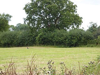
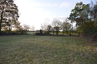
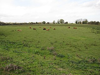
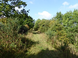
Moat Farm Meadows is a 3.3-hectare (8.2-acre) biological Site of Special Scientific Interest north-east of Otley in Suffolk.
Cribb's Meadow is a 4.2-hectare (10-acre) nature reserve east of Wymondham in Leicestershire. It is owned and managed by the Leicestershire and Rutland Wildlife Trust, and is designated a biological Site of Special Scientific Interest under the name Cribb's Lodge Meadows. It is also a National Nature Reserve and a Nature Conservation Review site, Grade 2.
Aslacton Parish Land is a 4.4-hectare (11-acre) biological Site of Special Scientific Interest west of Long Stratton in Norfolk, England.

Hall Farm Fen, Hemsby is a 9.2-hectare (23-acre) biological Site of Special Scientific Interest west of Hemsby in Norfolk, England. It is part of the Broadland Ramsar site and Special Protection Area, and The Broads Special Area of Conservation.
Mattishall Moor is a 5.5-hectare (14-acre) biological Site of Special Scientific Interest east of Dereham in Norfolk, England.

The Brinks, Northwold or Northwold Meadows is a 16.4-hectare (41-acre) biological Site of Special Scientific Interest south of Northwold in Norfolk, England.
