
The municipality of Moxa forms part of the Saale-Orla district in Thuringia, Germany.

Burgwalde is a municipality in the district of Eichsfeld in Thuringia, Germany, part of the Verwaltungsgemeinschaft Hanstein-Rusteberg.
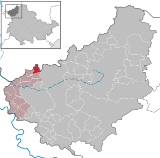
Freienhagen is a municipality in the district of Eichsfeld in Thuringia, Germany. It is part of the Verwaltungsgemeinschaft Hanstein-Rusteberg.

Fretterode is a municipality in the district of Eichsfeld in Thuringia, Germany. It is part of the Verwaltungsgemeinschaft Hanstein-Rusteberg.

Gerbershausen is a municipality in the district of Eichsfeld in Thuringia, Germany. It is part of the Verwaltungsgemeinschaft Hanstein-Rusteberg.
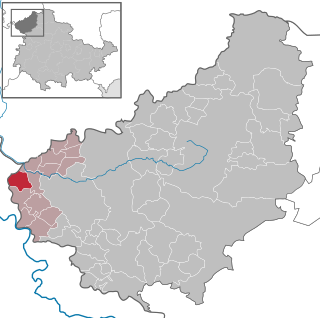
Hohengandern is a municipality in the district of Eichsfeld in Thuringia, Germany. It is part of the Verwaltungsgemeinschaft Hanstein-Rusteberg.

Kirchgandern is a municipality in the district of Eichsfeld in Thuringia, Germany. It is part of the Verwaltungsgemeinschaft Hanstein-Rusteberg. Kirchgandern was first mentioned in documentary in 1118.

Rustenfelde is a municipality in the district of Eichsfeld in Thuringia, Germany. It is part of the Verwaltungsgemeinschaft Hanstein-Rusteberg.

Schachtebich is a municipality in the district of Eichsfeld in Thuringia, Germany. It is part of the Verwaltungsgemeinschaft Hanstein-Rusteberg.

Wahlhausen is a municipality in the district of Eichsfeld in Thuringia, Germany. It is part of the Verwaltungsgemeinschaft Hanstein-Rusteberg.

Bürgel is a town in the Saale-Holzland district, in Thuringia, Germany. It is situated 12 km east of Jena. It contains the Benedictine monastery of Bürgel Abbey.

Rastenberg is a town in the district of Sömmerda, in Thuringia, Germany. It is situated 22 km east of Sömmerda, and 23 km northeast of Weimar.

Ronneburg is a town in the district of Greiz, in Thuringia, Germany. It is situated 7 km east of Gera.
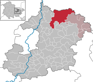
Schkölen is a town in the Saale-Holzland district, in Thuringia, Germany. It is situated 12 km south of Naumburg. The village Zschorgula is part of the municipality.
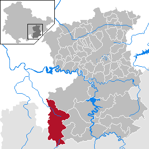
Wurzbach is a town in the Saale-Orla-Kreis district, in southern Thuringia, Germany. It is situated 33 kilometres (21 mi) southeast of Saalfeld, and 45 kilometres (28 mi) northwest of Hof.

Triptis is a town in the Saale-Orla-Kreis district, in Thuringia, Germany. It is situated 22 km southwest of Gera. The town is the seat of the municipal association Triptis.
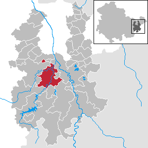
Weida is a town in the district of Greiz, in Thuringia, Germany, situated 12 km south of Gera on the river Weida.

Tissa is a municipality in the district Saale-Holzland, in Thuringia, in the eastern part of Germany.

Dornburg-Camburg is a town in the Saale-Holzland district, in Thuringia, Germany. It was created on 1 December 2008, when the towns Dornburg and Camburg and the municipality Dorndorf-Steudnitz were merged.
Altenburger Land I is an electoral constituency represented in the Landtag of Thuringia. It elects one member via first-past-the-post voting. Under the current constituency numbering system, it is designated as constituency 43. It covers the western part of Altenburger Land.


