| Saint-Michel-de-Napierville Aerodrome | |||||||||||
|---|---|---|---|---|---|---|---|---|---|---|---|
| Summary | |||||||||||
| Airport type | Private | ||||||||||
| Operator | D. Le Hesran R. Levesque | ||||||||||
| Location | Saint-Michel-de-Napierville, Quebec | ||||||||||
| Time zone | EST (UTC−05:00) | ||||||||||
| • Summer (DST) | EDT (UTC−04:00) | ||||||||||
| Elevation AMSL | 206 ft / 63 m | ||||||||||
| Coordinates | 45°12′49″N073°34′33″W / 45.21361°N 73.57583°W Coordinates: 45°12′49″N073°34′33″W / 45.21361°N 73.57583°W | ||||||||||
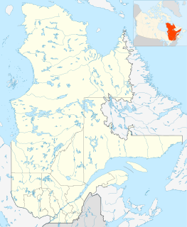
| Map | |||||||||||
| Runways | |||||||||||
| |||||||||||
Source: Canada Flight Supplement [1] | |||||||||||
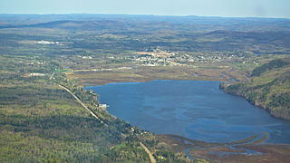
Saint-Michel-de-Napierville Aerodrome( TC LID : CMN3) is an aerodrome located 1.5 nautical mile s (2.8 km; 1.7 mi) south of Saint-Michel-de-Napierville, Quebec, Canada

Transport Canada is the department within the government of Canada responsible for developing regulations, policies and services of transportation in Canada. It is part of the Transportation, Infrastructure and Communities (TIC) portfolio. The current Minister of Transport is Marc Garneau. Transport Canada is headquartered in Ottawa, Ontario.
A location identifier is a symbolic representation for the name and the location of an airport, navigation aid, or weather station, and is used for manned air traffic control facilities in air traffic control, telecommunications, computer programming, weather reports, and related services.

An aerodrome or airdrome is a location from which aircraft flight operations take place, regardless of whether they involve air cargo, passengers, or neither. Aerodromes include small general aviation airfields, large commercial airports, and military airbases.


