Sioux Valley | |
|---|---|
 Sioux Valley  Sioux Valley | |
| Coordinates: 43°32′38″N95°18′17″W / 43.54389°N 95.30472°W | |
| Country | United States |
| State | Minnesota |
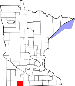
| County | Jackson |
| Township | Sioux Valley |
| Elevation | 1,473 ft (449 m) |
| Time zone | UTC-6 (Central (CST)) |
| • Summer (DST) | UTC-5 (CDT) |
| GNIS feature ID | 652087 [1] |
Sioux Valley is an unincorporated community in Sioux Valley Township, Jackson County, Minnesota, United States. [2]