| Storrington and Sullington | |
|---|---|
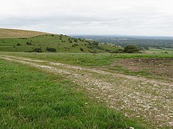 Sullington Hill, Storrington | |
 Storrington and Sullington Location within West Sussex | |
| Area | 12.00 km2 (4.63 sq mi) [1] |
| Population | 6,074 [1] 2001 Census 6,966 (2011 Census) [2] |
| • Density | 506/km2 (1,310/sq mi) |
| OS grid reference | TQ086142 |
| • London | 43 miles (69 km) NNE |
| Civil parish |
|
| District | |
| Shire county | |
| Region | |
| Country | England |
| Sovereign state | United Kingdom |
| Post town | PULBOROUGH |
| Postcode district | RH20 |
| Dialling code | 01903 |
| Police | Sussex |
| Fire | West Sussex |
| Ambulance | South East Coast |
| UK Parliament | |
| Website | http://www.storrington.org.uk/ |
Storrington and Sullington is the name of a civil parish in the Horsham District of West Sussex, England. The parish covers both the town of Storrington and the village of Sullington.
Contents
The civil parish has a land area of 1,200 hectares (3,000 acres). In the 2001 census 6074 people lived in 2778 households of whom 2563 were economically active. At the 2011 Census the population had increased to 6,966. [2] In 2018 there was a recorded 8,955 people living in the Storrington area.