Related Research Articles

Montgomery County is located in the southwestern portion of the U.S. state of Ohio. As of the 2020 census, the population was 537,309, making it the fifth-most populous county in Ohio. The county seat is Dayton. The county was named in honor of Richard Montgomery, an American Revolutionary War general killed in 1775 while attempting to capture Quebec City, Canada. Montgomery County is part of the Dayton, Ohio Metropolitan Statistical Area.

Englewood is a city in Montgomery County, Ohio, and a northern suburb of Dayton. The population was 13,465 at the 2010 census. It is part of the Dayton metropolitan area.

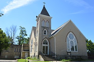
Farmersville is a village in Jackson Township, Montgomery County, Ohio, United States. The population was 1,009 at the 2010 census. It is part of the Dayton Metropolitan Statistical Area.
Fort McKinley is an unincorporated community in Harrison Township in Montgomery County, Ohio, United States. It was delineated as a census-designated place (CDP) at the 2000 census, when its population was 3,989. It was not delineated as a CDP for the 2010 census.
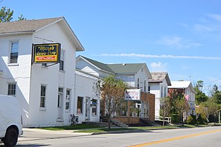
New Lebanon is a village in Montgomery County, Ohio, United States. The population was 3,995 at the 2010 census. It is part of the Dayton Metropolitan Statistical Area.

Carlisle is a city in northwestern Warren and southern Montgomery counties in the southwestern part of the U.S. state of Ohio. The city is in Franklin Township, Warren County, Ohio and German Township, Montgomery County, Ohio.

The Miami Valley is the land area surrounding the Great Miami River in southwest Ohio, USA, and includes the Little Miami, Mad, and Stillwater rivers as well. Geographically, it includes Dayton, Springfield, Middletown, Hamilton, and other communities. The name is derived from the Miami Indians.
Liberty is an unincorporated community in Montgomery County, in the U.S. state of Ohio.

Phoneton is an unincorporated community in southwestern Bethel Township, Miami County, Ohio, United States, that is located at the junction of the National Road and Old Troy Pike {State Rotue 202) in southwestern Bethel Township, Miami County, Ohio, United States. It is part of the Dayton Metropolitan Statistical Area.

Pyrmont is an unincorporated community in northwestern Perry Township, Montgomery County, Ohio, United States. It centers at the intersection of Brookville–Pyrmont Pike and Sulphur Springs Road, extending to the intersection of Brookville–Pyrmont Pike and Providence Pike. Located in the far west of the county, it lies several miles from the city of Dayton; the nearest city is Brookville, three miles to the northeast. Pyrmont is a part of the Brookville Local School District. Pyrmont, which was on a stagecoach route, was a busy town before Interstate 70 was built near Brookville.

Wolf Creek is a 19.8-mile-long (31.9 km) tributary of the Great Miami River in southwestern Ohio in the United States. It rises in western Montgomery County, northwest of Brookville, and flows generally southeast, passing through the center of Trotwood and joining the Great Miami in downtown Dayton.
Pride is an unincorporated community in Ross County, in the U.S. state of Ohio.
Airhill is an unincorporated community in Montgomery County, in the U.S. state of Ohio.
Amity is an unincorporated community in Montgomery County in the U.S. state of Ohio.
Bachman is an unincorporated community in Montgomery County, in the U.S. state of Ohio.
Dodson is an unincorporated community in Montgomery County, in the U.S. state of Ohio.
Harries is a historic community in Montgomery County, in the U.S. state of Ohio.
Kinsey is a historic community in Montgomery County, in the U.S. state of Ohio; its location, 39°51′14″N84°17′34″W, makes it a neighborhood of Englewood.
Taylorsburg is a neighborhood of the city of Trotwood in northwestern Montgomery County, Ohio, United States.
Arlington is an unincorporated community in Montgomery County, in the U.S. state of Ohio.
References
- ↑ U.S. Geological Survey Geographic Names Information System: Tadmor (historical)
- ↑ "Tipp City Quadrangle, Ohio-Miami County," 7.5 minute series (topographic), n.d.
- ↑ "Montgomery County". Jim Forte Postal History. Retrieved 23 January 2016.
- ↑ Drury, Augustus Waldo (1909). History of the City of Dayton and Montgomery County, Ohio, Volume 1. S. J. Clarke Publishing Company. p. 915.
Municipalities and communities of Montgomery County, Ohio, United States | ||
|---|---|---|
| Cities |  | |
| Villages | ||
| Townships | ||
| CDPs | ||
| Other communities | ||
| Ghost towns | ||
| Footnotes | ‡This populated place also has portions in an adjacent county or counties | |
| | This Montgomery County, Ohio state location article is a stub. You can help Wikipedia by expanding it. |