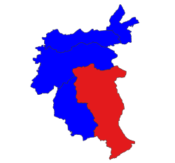
Wa State is a de facto independent state that has its own political system, administrative divisions and army. While the Wa State government recognises Myanmar's sovereignty over all of its territory, this does not include allegiance to any specific government. The 2008 Constitution of Myanmar officially recognises the northern part of Wa State as the Wa Self-Administered Division of Shan State. It is run as a de facto one-party socialist state ruled by the United Wa State Party (UWSP), which split from the Communist Party of Burma (CPB) in 1989. Wa State is divided into three counties, two special districts, and one economic development zone. The administrative capital is Pangkham, formerly known as Pangsang. The name Wa is derived from the Wa ethnic group, who speak an Austroasiatic language.

Theinni or Hsenwi is a town in northern Shan State of Burma, situated near the north bank of the Nam Tu River and now the centre of Hsenwi Township in Lashio District. It is 28 miles (45 km) north of Lashio and 2,100 feet (640 m) above sea level.

Mang Lon, Manglon, Manglun, Manglön, or Mang Lön a state in the northern Shan states of Myanmar, was formerly the chief state of the Wa people. It is a mountainous territory, including the valleys of the Salween and its tributary the Nam Hka. It had an approximate area of 7770 km2 and its estimated population in 1911 was 40,000.

Laihka State, also spelt Legya or Lecha, was a state in the central division of the Southern Shan States of Burma, with an area of 3,711 square kilometres (1,433 sq mi).
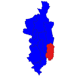
Hsi Hseng Township is a township of Taunggyi District in the Shan State of Myanmar. The principal town is Hsi Hseng.
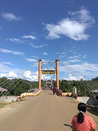
Mong Hsu Township is a township of Loilen District in the Shan State of Myanmar. The principal town is Mong Hsu. Om-pu waterfall on Nam Parng River of Mong Hsu is the second largest waterfall of Shan State. The nearest commercial airport to Mong Hsu is Lashio Airport.
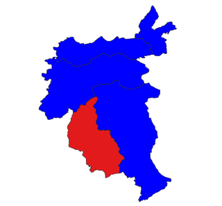
Mongyai Township is a township of Lashio District in the Shan State of eastern Burma. The principal town is Mongyai. Mount Loi Leng of Mongyai is the highest point in Shan State.

Mong Khet Township is a township of Kengtong District in the Shan State of Myanmar. The principal town and administrative center is Mong Khet. It has been calculated to be the center of the Valeriepieris circle.
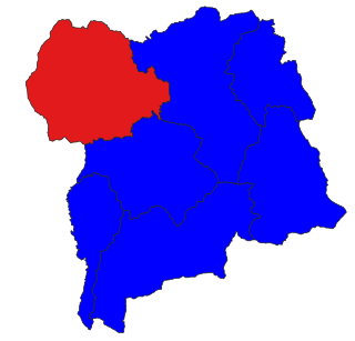
Mong Kung Township or Mongkaung Township is a township of Loilen District in the Shan State of Burma. The principal town is Mong Kung.

Kenghkam or Keng Hkam was a Shan state in what is today Burma. The capital was the town of Keng Hkam, located by the Nam Pang River.

Mongnawng was a large Shan state in what is today Burma.
Mong Nawng, Mong Naung or Mongnawng is a town in Shan State, Myanmar. It is located a few miles to the west of the Nam Pang river.

South Hsenwi was a Shan state in the Northern Shan States in what is today Burma. The capital was Mongyai town which had a population of about 2000 in the 19th century.

North Hsenwi was a Shan state in the Northern Shan States in what is today Burma. The capital was Lashio town which was also the headquarters of the superintendent of the Northern Shan State. North Hsenwi, with an area of 6330 m², had a population in 1901 of 118,325 persons and an estimated revenue of £6000.

Mongpai, also known as Mobye, was a Shan state in what is today Burma. It belonged to the Central Division of the Southern Shan States. Mongpai was based in the modern town of Mobye.

The Shan State Army, also known as Shan State Army – North (SSA-N) or Shan State Army/Special Region 3 (SSA/SR-3) is a Shan nationalist insurgent group in Myanmar (Burma). It is the armed wing of the Shan State Progress Party (SSPP).
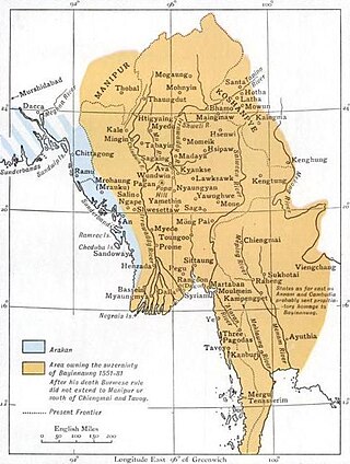
Mogaung or Möngkawng was a Shan state in what is present-day Myanmar. It was an outlying territory, located away from the main Shan State area in present-day Kachin State. The state existed until 1796. The main town was Mogaung.

Shwenyaung–Mong Nai Railway is a 1000 mm meter-gauge railway line, originally designed to connect Shwenyaung to Taunggyi, Banyin, and Mong Nai in Shan State, Myanmar. Plans were made to extend the line from Mong Nai to Kyaingtong, though this extension was never completed.

