The Shan State Army – South, also known simply as the Shan State Army, is the armed wing of the Restoration Council of Shan State (RCSS) and one of the largest insurgent groups in Myanmar (Burma). The SSA-S was led by Lieutenant General Yawd Serk until his resignation on 3 February 2014. Yawd Serk was reelected chairman of the RCSS shortly after his resignation and has remained chairman since.

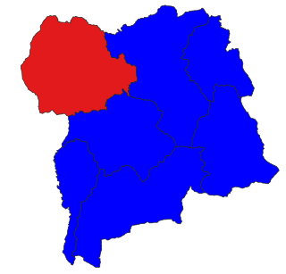
Hsi Hseng Township is a township of Taunggyi District in the Shan State of Myanmar. The principal town is Hsi Hseng.

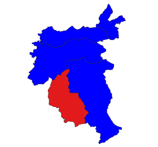
Mongyai Township is a township of Lashio District in the Shan State of eastern Burma. The principal town is Mongyai. Mount Loi Leng of Mongyai is the highest point in Shan State.

Tangyan Township is a township of Lashio District in the Shan State of eastern Burma. The principal town is Tangyan. Tangyan emerged as an important centre for Panthay people in the mid-20th century, especially after the destruction of Panglong during World War II.

Kengtung Township is a township of Kengtung District in the Shan State of Myanmar. The principal town is Kengtung. It lies almost entirely east of the Salween River and its area is over 12,000 square miles (31,000 km2). It is bounded on the north by the states of Mang Lon, Mong Lem and Keng Hung ; east by the Mekong River, south by the Siamese Shan States, and west in a general way by the Salween River, though it overlaps it in some places. The state is known to the Chinese as Mhng Khng, and was frequently called by the Burmese the 32 cities of the Gn (HkOn). The classical name of the state is Khemarata or Khemarata Tungkapuri.

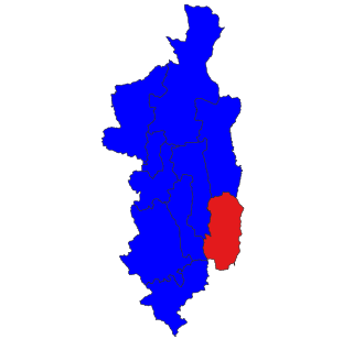
Mong Khet Township is a township of Kengtong District in the Shan State of Burma. The principal town and administrative center is Mong Khet. It has been calculated to be the center of the Valeriepieris circle.

Mong Kung Township or Mongkaung Township is a township of Loilen District in the Shan State of Burma. The principal town is Mong Kung.

Momeik, also known as Mong Mit in Shan, is a town situated on the Shweli River in northern Shan State of Myanmar (Burma).

The Shan Hills, also known as Shan Highland, is a vast mountainous zone that extends through Yunnan to Myanmar and Thailand. The whole region is made up of numerous mountain ranges separated mostly by narrow valleys as well as a few broader intermontane basins. The ranges in the area are aligned in such a way that they link to the foothills of the Himalayas further to the northwest.

Mong Khat Township is a town in Kengtong District of Shan State of Myanmar. The town is located alongside the Nam Loi Creek, a tributary of the Mekong. The nearest airport is 51 miles away in Kengtong.

Mong Hsu is the principal town of Mong Hsu Township of Shan State.

Mongmit or Möngmit, also known as Momeik, was a Shan state in the Northern Shan States in what is today Burma. The capital was Mongmit town. The state included the townships of Mongmit and Kodaung.

Monghsu or Maingshu was a Shan state in what is today Burma. It belonged to the Eastern Division of the Southern Shan States. The main river in the area was the Nam Pang.

Tawngpeng was a Shan state in what is today Myanmar. It belonged to the Northern Shan States. The capital was Namhsan (Om-yar).

The Shan State Army – North, also known as Shan State Army/Special Region 3 (SSA/SR-3) is a Shan nationalist insurgent group in Myanmar (Burma). It is the armed wing of the Shan State Progress Party (SSPP).
Homein also known as Homong, Homöng, Ho Mong and Wān Ho-möng, is a village in Langkho Township, Langkho District, southern Shan State, Myanmar (Burma).
![miung:[?][?][?]: [?]ki[?]:ttNttaa:.jpg](http://upload.wikimedia.org/wikipedia/commons/thumb/c/c8/%E1%80%99%E1%80%AD%E1%80%AF%E1%80%84%E1%80%BA%E1%80%B8%E1%80%9B%E1%80%BE%E1%80%B0%E1%80%B8_%E1%80%80%E1%80%BC%E1%80%AD%E1%80%AF%E1%80%B8%E1%80%90%E1%80%B6%E1%80%90%E1%80%AC%E1%80%B8.jpg/250px-%E1%80%99%E1%80%AD%E1%80%AF%E1%80%84%E1%80%BA%E1%80%B8%E1%80%9B%E1%80%BE%E1%80%B0%E1%80%B8_%E1%80%80%E1%80%BC%E1%80%AD%E1%80%AF%E1%80%B8%E1%80%90%E1%80%B6%E1%80%90%E1%80%AC%E1%80%B8.jpg)


