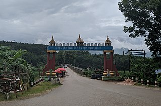
Shan State is a state of Myanmar. Shan State borders China (Yunnan) to the north, Laos to the east, and Thailand to the south, and five administrative divisions of Burma (Myanmar) in the west. The largest of the 14 administrative divisions by land area, Shan State covers 155,800 km2, almost a quarter of the total area of Myanmar. The state gets its name from Burmese name for the Tai peoples: "Shan people". The Tai (Shan) constitute the majority among several ethnic groups that inhabit the area. Shanland is largely rural, with only three cities of significant size: Lashio, Kengtung, and the capital, Taunggyi. Taunggyi is 150.7 km northeast of the nation's capital Naypyitaw.

Kunlong is the capital town of Kunlong Township in Shan State. its coordination is 23 25' 00" N and 98 39' 00" E.

Kanpetlet Township is a township of Mindat District in the Chin State of Myanmar. Its principal town is Kanpetlet.

Maungdaw Township is a township of Maungdaw District in Rakhine State, Myanmar (Burma). The principal town is Maungdaw.

Hsenwi Township, also known as Hseni or Theinni, is a township of Lashio District in the Shan State, Myanmar. It shares the borders with Kutkai Township in the north, Kunlong Township in the east, Lashio Township in the south and Namtu Township in the west. Its area is 1,224.8 square kilometres (472.89 sq mi). There are 4 wards and 32 village-tracts. Total population was about 50,000 in 2009. The principal town is Hsenwi.

Kutkai Township is a township of Muse District in the Shan State of eastern Burma. The principal town is Kutkai.

Kunlong Township is a township of Lashio District in Shan State, Burma. The main town is Kunlong, located by the Salween River.
Hopang Township is a township of the Wa Self-Administered Division in the Shan State of Burma. The principal town is Hopang. It is one of the 6 townships of Wa Self-Administered Division. It became part of Hopang District instead of Kunlong District in 2011.
Kengtung District is a district of the Shan State in Myanmar. It consists of three towns and 1449 villages.
Lashio District is a district of Shan State in Myanmar. It consisted of four towns and 2431 villages in 2001.

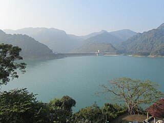
Dapu Township is a rural township in Chiayi County, Taiwan. Part of the Siraya National Scenic Area, Dapu gets a major portion of its revenue from tourism. Among the birds that can be seen in the area is the fairy pitta.

The Wa Self-Administered Division is an autonomous self-administered division in Myanmar (Burma). Its official name was announced by decree on 20 August 2010.
Pangsang Township is a township of the Wa Self-Administered Division of Shan State, formerly and conterminously part of Matman District. Prior to 2011, it was part of Hopang District and Lashio District. Its capital town is Pangsang.
Mong Maoe Township, locally known as Moeknu, is a township of Hopang District of Shan State. Prior to 2011, it belonged to Lashio District. Its principal town is Mongmao.
Pangwaun Township, also known as Panwai and Panwine, is a township of the Wa Self-Administered Division of Shan State, formerly and conterminously part of Hopang District. Prior to 2011, it belonged to Lashio District. Its main town is Pangwaun.
Namphan Township, also known as Na-hpan, is a township of the Wa Self-Administered Division of Shan State, formerly and conterminously part of Matman District. Prior to 2011, it was part of Hopang District and Lashio District. Its capital is Namphan.
Hopang District is a district of Shan State, Burma. It is part of the Wa Self-Administered Division. It was set up in 2011 and consists of three townships, Hopang, Mongmai and Pangwan, and two subtownships, Namtit and Panlong.
Namtit Subtownship is a subtownship of the Wa Self-Administered Division of Shan State, formerly and conterminously part of Hopang District. Its principal town is Namtit. It is de facto administrated as the Nang Teung Special District of Wa State.
Matman Township, also known as Metman Township, is a township of the Wa Self-Administered Division of Shan State, formerly and conterminously part of Matman District. The capital of the township is Matman.
Meung Yum is a Waic language spoken by about 8,000 people in Kunlong Township, Shan State, Myanmar.


