
Morristown is a city in and the county seat of Hamblen County, Tennessee, United States. Morristown also extends into Jefferson County on the western and southern ends. The city lies within the Ridge and Valley region of the Appalachians, along Cherokee Lake on the Holston River. The city's population was recorded to be 30,431 at the 2020 United States census. It is the principal city of the Morristown Metropolitan Statistical Area, which encompasses all of Grainger, Hamblen, and Jefferson counties. The Morristown metropolitan area is also part of the Knoxville-Morristown-Sevierville Combined Statistical Area.

U.S. Route 58 is an east–west U.S. Highway that runs for 508 miles (818 km) from U.S. Route 25E just northwest of Harrogate, Tennessee, to U.S. Route 60 in Virginia Beach, Virginia. Until 1996, when the Cumberland Gap Tunnel opened, US 58 ran only inside the commonwealth of Virginia. It was then extended southwest along a short piece of former US 25E, which no longer enters Virginia, to end at the new alignment in Tennessee. For most of its alignment, it closely parallels Virginia's southern border with North Carolina.

State Route 381 is a primary state highway in the US state of Virginia. Known as Commonwealth Avenue, the state highway runs 1.21 miles (1.95 km) from the Tennessee state line north to the 1.67-mile (2.69 km) Interstate 381 (I-381) within the independent city of Bristol. In conjunction with I-381, SR 381 connects I-81 with downtown Bristol. The state highway also connects the Interstate Highways with US Route 11 (US 11), US 11W, US 11E, US 19, and US 421; SR 381 runs concurrently with the latter three highways between downtown Bristol and US 11. I-381 is a spur from I-81 that provides access to Bristol. It runs for 1.67 miles (2.69 km) from the intersection of Commonwealth Avenue (SR 381) and Keys/Church streets in Bristol at exit 0 north to I-81. The I-81 interchange, the only one on I-381, is signed as exit 1A and exit 1B.

U.S. Route 11W (US 11W) is the western branch of US 11 from the twin cities of Bristol, Tennessee/Bristol, Virginia, where US 11 splits into US 11E and US 11W, to Knoxville, Tennessee, where the two highways rejoin. The highway serves the Appalachia region's Ridge-and-Valley section of East Tennessee, bounded by the Clinch Mountain ridge to the north and the Holston River to the south. US 11W from Bristol to Bean Station and Blaine to Knoxville are designated as part of the National Highway System.

U.S. Route 11E (US 11E) is a divided highway of US 11 in the U.S. states of Tennessee and Virginia. The United States Numbered Highway, which is complemented by US 11W to the north and west, runs 120.94 miles (194.63 km) from US 11, US 11W, and US 70 in Knoxville, Tennessee, north and east to US 11, US 11W, US 19, and US 421 in Bristol, Virginia. US 11E connects Knoxville and the twin cities of Bristol, Virginia, and Bristol, Tennessee, with the East Tennessee communities of Morristown, Greeneville, and Johnson City. The U.S. Highway runs concurrently with US 70 and US 25W east of Knoxville, US 321 from Greeneville and Johnson City, and both US 19W and US 19 between Johnson City and Bristol. US 11E also has an unsigned concurrency with State Route 34 (SR 34) for almost all of its course in Tennessee.
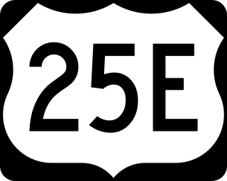
U.S. Route 25E (US 25E) is the eastern branch of US 25 from Newport, Tennessee, where US 25 splits into US 25E and US 25W, to North Corbin, Kentucky, where the two highways rejoin. The highway, however, continues as US 25E for roughly two miles (3.2 km) until it joins Interstate 75 (I-75) in the Laurel County community of North Corbin at exit 29. The highway serves the Appalachia regions of Kentucky's Cumberland Plateau and the Ridge-and-Valley section of East Tennessee, including the urbanized areas of Corbin and Middlesboro in Kentucky and Morristown in Tennessee.

U.S. Route 25W (US 25W) is the western branch of US 25 from Newport, Tennessee, where US 25 splits into US 25E and US 25W, to North Corbin, Kentucky, where the two highways rejoin.

Interstate 81 (I-81) is part of the Interstate Highway System that runs 855.02 miles (1,376.02 km) northward from Dandridge, Tennessee, to the Thousand Islands Bridge at the Canadian border near Fishers Landing, New York. In Tennessee, I-81 serves the northeastern part of the state, running 75.66 miles (121.76 km) from its southern terminus with I-40 in Dandridge to the Virginia state line in Bristol. The route serves the Tri-Cities region of the state and the eastern parts of the Knoxville metropolitan area, terminating about 35 miles (56 km) east of Knoxville. I-81 bypasses most cities that it serves, instead providing access via interchanges with state and federal routes. It remains in the Ridge-and-Valley topographic region of the Appalachian Mountains for its entire length in Tennessee, and runs in a northeast to southwest direction.

State Route 66 is a state-maintained highway in eastern Tennessee, including a six-lane divided highway known as Winfield Dunn Parkway in Sevier County, a four-lane expressway in Hamblen and Jefferson counties and a two-lane rural collector through mountainous terrain continuing to the northeast terminus in Hancock County.

State Route 70 is a state-maintained highway in East Tennessee, beginning at the border with North Carolina in the midst of the Cherokee National Forest and the Great Smoky Mountains and ending at the Virginia border in the extremely rural and mountainous terrain of Hancock County.

State Route 107 is a 78.77-mile (126.77 km) state highway in eastern Tennessee, United States. It begins at an intersection with Round Mountain Road south of Del Rio and ends at the North Carolina state line east of Unicoi, where it becomes NC 226.

State Route 32 is a state highway in East Tennessee. For most of its route, it is an unsigned companion route concurrent with U.S. Route 25E. The highway stretches 89 miles from the North Carolina state line to the Tennessee-Kentucky state line near the town of Cumberland Gap.

State Route 113 is a north–south state highway in East Tennessee.
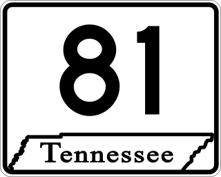
State Route 81 is a 25.7-mile-long (41.4 km) state highway in northeastern Tennessee. It travels in Unicoi and Washington counties. It connects Fall Branch with Erwin.
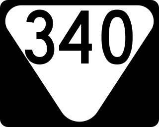
State Route 340 is a state highway in the eastern portion of the U.S. state of Tennessee. It travels south-to-north through portions of Cocke, Greene and Hamblen counties.

State Route 341 is a 10.4-mile-long (16.7 km) state highway that travels within portions of Hamblen and Jefferson counties in the eastern portion of the U.S. state of Tennessee. It connects Talbott with White Pine.

State Route 343 is a state highway in Morristown, Hamblen County in the U.S. state of Tennessee. It serves as connector from US 25E into downtown Morristown.

State Route 474 was a 1.4-mile-long (2.3 km) five-lane state highway in Hamblen County in the eastern portion of the U.S. state of Tennessee. It served as a connector route from SR 160 to US 11E/SR 34. It was decommissioned and designated as part of SR 66 following an extension project by TDOT in November 2020.

State Route 35 is a north–south state highway in East Tennessee. The 81.35 miles (130.92 km) long state highway traverses Blount, Sevier, a small portion of Jefferson, Cocke, and Greene Counties. Most of the route is a secret, or hidden designation, as it runs concurrently with U.S. Highways in the area.

The East Tennessee Crossing Byway is a 83-mile (134 km) National Scenic Byway in the U.S. state of Tennessee. Established in 2009, it is one of the newest byways in the National Scenic Byway system. The scenic byway traverses mostly along an unsigned concurrency of U.S. Route 25E/State Route 32 (US 25E/SR 32) in East Tennessee.


