Terband

Last updated
Terband
Terbant
Village
Terbantstertsjerke II.jpg
The Terbantster Tsjerke  [ nl ] in Terband
Terband wapen.svg
Map NL It Hearrenfean Terbant.png
Location in the Heerenveen municipality
2010-NL-P02-Fryslan-positiekaart-gemnamen.jpg
Red pog.svg
Terband
Location in the Netherlands
Netherlands location map.svg
Red pog.svg
Terband
Terband (Netherlands)
Coordinates: 52°59′44″N5°53′11″E / 52.99556°N 5.88639°E / 52.99556; 5.88639
Country Flag of the Netherlands.svg Netherlands
Province Frisian flag.svg Friesland
Municipality Heerenveen flag.svg Heerenveen
Area
[1]
  Total
7.31 km2 (2.82 sq mi)
Elevation
[2]
−0.8 m (−2.6 ft)
Population
 (2021) [1]
  Total
260
  Density36/km2 (92/sq mi)
Postal code
8449 [1]
Dialing code 0513

Terband (West Frisian : Terbant) is a village in Heerenveen in the province of Friesland, the Netherlands. It had a population of around 270 in January 2017. [3]

Contents

History

The village was first mentioned in 1315 as Bant, and means "near the region". [4] In 1315, a chapel was built in the village. In 1840, it was home to 228 people. In 1843, a Dutch Reformed church was built. [5]

Before 1934, Terband was part of the Aengwirden municipality. [5] Between 1954 and 1959, part of the village of annexed by Heerenveen, and demolished to create the interchange between the A7 and A32 motorways. [5]

Related Research Articles

<span class="mw-page-title-main">Akkrum</span> Village in Friesland, Netherlands

Akkrum is a village in the Dutch province of Friesland. It is located in the municipality Heerenveen, about 17 km south of the city of Leeuwarden.
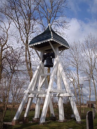
<span class="mw-page-title-main">Akmarijp</span> Village in Friesland, Netherlands

Akmarijp is a village in the Dutch province of Friesland. It is in the municipality De Fryske Marren, about 5 km north of the town of Joure.

<span class="mw-page-title-main">Aldeboarn</span> Village in Friesland, Netherlands

Aldeboarn is a village in Heerenveen in the province of Friesland, the Netherlands. It had a population of around 1545 in January 2017. Aldeboarn has an iconic church tower.

<span class="mw-page-title-main">Echten, Friesland</span> Village in Friesland, Netherlands

Echten is a small village in De Fryske Marren in the province of Friesland, the Netherlands. It had a population of around 235 in 2017.

<span class="mw-page-title-main">Idaerd</span> Village in Friesland, Netherlands

Idaerd is a village in the municipality of Leeuwarden in the province of Friesland, Netherlands. It had a population of around 80 in January 2017.

<span class="mw-page-title-main">Oudeschoot</span> Village in Friesland, Netherlands

Oudeschoot is a village in Heerenveen in the province of Friesland, the Netherlands. It had a population of around 1,580 in January 2017.

<span class="mw-page-title-main">De Knipe</span> Village in Friesland, Netherlands

De Knipe is a village in the municipality Heerenveen in the province of Friesland, the Netherlands. It had a population of around 1,455 in January 2017.

<span class="mw-page-title-main">Nieuwehorne</span> Village in Friesland, Netherlands

Nieuwehorne is a village in Heerenveen in the province of Friesland, the Netherlands. It had a population of around 1,450 in January 2017.

<span class="mw-page-title-main">Oudehorne</span> Village in Friesland, Netherlands

Oudehorne is a village in Heerenveen in the province of Friesland, the Netherlands. It had a population of around 835 in January 2017.
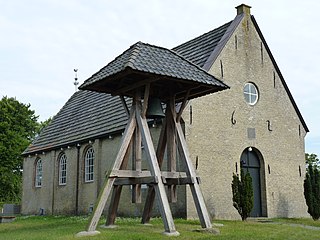
<span class="mw-page-title-main">Hoornsterzwaag</span> Village in Friesland, Netherlands

Hoornsterzwaag is a small village in Heerenveen in the province of Friesland, the Netherlands. It had a population of around 830 in January 2017.

<span class="mw-page-title-main">Tjalleberd</span> Village in Friesland, Netherlands

Tjalleberd is a village in Heerenveen in the province of Friesland, the Netherlands. It had a population of around 820 in January 2017.

<span class="mw-page-title-main">Mildam</span> Village in Friesland, Netherlands

Mildam is a village in Heerenveen in the province of Friesland, the Netherlands. It had a population of around 685 in January 2017.
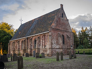
<span class="mw-page-title-main">Katlijk</span> Village in Friesland, Netherlands

Katlijk is a village in Heerenveen in the province of Friesland, the Netherlands. It had a population of around 610 in 2017.

<span class="mw-page-title-main">Luinjeberd</span> Village in Friesland, Netherlands

Luinjeberd is a village in the Heerenveen municipality in the province of Friesland, the Netherlands. It had a population of around 430 in January 2017.

<span class="mw-page-title-main">Nieuweschoot</span> Village in Friesland, Netherlands

Nieuweschoot is a village in Heerenveen in the province of Friesland, the Netherlands. It had a population of around 185 in January 2017.
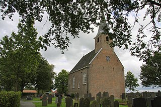
<span class="mw-page-title-main">Haskerdijken</span> Village in Friesland, Netherlands

Haskerdijken is a village in Heerenveen in the province of Friesland, the Netherlands. It had a population of around 395 in January 2017.

<span class="mw-page-title-main">Nijehaske</span> Neighbourhood and village in Friesland, Netherlands

Nijehaske is a village in De Fryske Marren municipality, west of Heerenveen in the province of Friesland, the Netherlands. It had a population of around 55 in 2017. In 1934, most of Nijehaske was transferred to Heerenveen and has become a neighbourhood.

<span class="mw-page-title-main">Nieuwebrug, Friesland</span> Village in Friesland, Netherlands

Nieuwebrug is a village in Heerenveen in the province of Friesland, the Netherlands. It had a population of around 215 in 2017.

<span class="mw-page-title-main">Oudehaske</span> Village in Friesland, Netherlands

Oudehaske is a village in De Fryske Marren in the province of Friesland, the Netherlands. It had a population of around 1980 in 2017.

<span class="mw-page-title-main">Rotstergaast</span> Village in Friesland, Netherlands

Rotstergaast is a village in Skarsterlân in De Fryske Marren municipality in the province of Friesland, the Netherlands. It had a population of around 185 in 2017.

References

  1. 1 2 3 "Kerncijfers wijken en buurten 2021". Central Bureau of Statistics. Retrieved 30 March 2022.
  2. "Postcodetool for 8449AA". Actueel Hoogtebestand Nederland (in Dutch). Het Waterschapshuis. Retrieved 30 March 2022.
  3. Kerncijfers wijken en buurten 2017 - CBS Statline
  4. "Terband - (geografische naam)". Etymologiebank (in Dutch). Retrieved 30 March 2022.
  5. 1 2 3 "Terband". Plaatsengids (in Dutch). Retrieved 30 March 2022.

Commons-logo.svg Media related to Terband at Wikimedia Commons