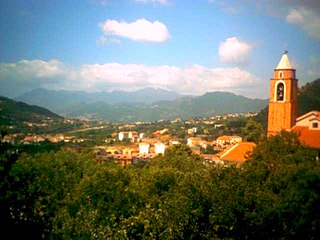
Letino is a comune and small village in the province of Caserta, in Campania, southern Italy.

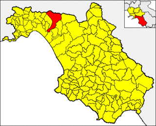
Giffoni Valle Piana, commonly known as Giffoni, is a town and comune in the Province of Salerno, Campania, southwestern Italy.

Romagnano al Monte is a village and comune of the province of Salerno in the Campania region of southern Italy.

San Mango Piemonte is a village and comune in the province of Salerno in the Campania region of southern Italy.

San Nicandro Garganico known until 1999 as Sannicandro Garganico) is a small city and comune in the province of Foggia in the Apulia region of southeast Italy.
San Cosmo Albanese is a village and comune in the province of Cosenza in the Calabria region of southern Italy.

Santo Stefano di Rogliano is a village and comune in the province of Cosenza in the Calabria region of southern Italy.
Scala Coeli is a village and comune in the province of Cosenza in the Calabria region of southern Italy.
Paludi is a village and comune in the province of Cosenza in the Calabria region of southern Italy.

Rubiana is a comune (municipality) in the Metropolitan City of Turin in the Italian region Piedmont, located about 25 kilometres (16 mi) northwest of Turin.
Paroldo is a comune (municipality) in the Province of Cuneo in the Italian region Piedmont, located about 80 kilometres (50 mi) southeast of Turin and about 40 kilometres (25 mi) east of Cuneo. As of 31 December 2004, it had a population of 239 and an area of 12.6 square kilometres (4.9 sq mi).
Somano is a comune (municipality) in the Province of Cuneo in the Italian region Piedmont, located about 60 kilometres (37 mi) southeast of Turin and about 40 kilometres (25 mi) northeast of Cuneo. As of 31 December 2004, it had a population of 399 and an area of 11.8 square kilometres (4.6 sq mi).
Venasca is a comune (municipality) in the Province of Cuneo in the Italian region Piedmont, located about 60 kilometres (37 mi) southwest of Turin and about 25 kilometres (16 mi) northwest of Cuneo. As of 31 December 2004, it had a population of 1,563 and an area of 20.4 square kilometres (7.9 sq mi).

Casal Cermelli is a comune (municipality) in the Province of Alessandria in the Italian region Piedmont, located about 80 kilometres (50 mi) southeast of Turin and about 9 kilometres (6 mi) south of Alessandria.

Foppolo is a comune (municipality) in the Province of Bergamo in the Italian region of Lombardy, located about 120 kilometres (75 mi) northeast of Milan and about 60 kilometres (37 mi) north of Bergamo. As of 31 December 2004, it had a population of 206 and an area of 16.2 square kilometres (6.3 sq mi).

Mezzoldo is a comune (municipality) in the Province of Bergamo in the Italian region of Lombardy, located about 70 kilometres (43 mi) northeast of Milan and about 35 kilometres (22 mi) north of Bergamo. As of 31 December 2004, it had a population of 225 and an area of 18.8 square kilometres (7.3 sq mi).

Orio al Serio is a comune (municipality) in the Province of Bergamo in the Italian region of Lombardy, located about 45 kilometres (28 mi) northeast of Milan and about 1 kilometre (1 mi) southeast of Bergamo.

Parre is a comune (municipality) in the Province of Bergamo in the Italian region of Lombardy, located about 70 kilometres (43 mi) northeast of Milan and about 25 kilometres (16 mi) northeast of Bergamo. As of 31 December 2004, it had a population of 2,821 and an area of 22.5 square kilometres (8.7 sq mi).

Fortunago is a comune (municipality) in the Province of Pavia in the Italian region Lombardy, located about 91 km south of Milan and about 42 km south of Pavia. As of 31 December 2004, it had a population of 407 and an area of 18.0 km2.

Torre d'Isola is a comune (municipality) in the Province of Pavia in the Italian region Lombardy, located about 30 km south of Milan and about 6 km northwest of Pavia. As of 30 June 2008, it had a population of 2,276 and an area of 16.3 km2.


