Tolú is a small municipality and town in Sucre Department, northern Colombia by the Caribbean sea. The municipality has an area of 500 km². It is named for Tolú, one the pre-Columbian indigenous people of the North Colombia lowlands.

Sincé is a town and municipality located in the Department of Sucre, northern Colombia.

Caimito is a town and municipality located in the Sucre Department, northern Colombia.

Chalán is a town and municipality located in the Sucre Department, northern Colombia.

Colosó is a town and municipality located in the Sucre Department, northern Colombia.

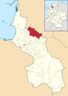
Corozal is a town and municipality in the Sucre Department, northern Colombia.
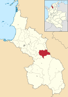
Galeras is a town and municipality located in the Sucre Department, northern Colombia. The main economic activities are agriculture and cattle raising. Galeras is 50 km away from the department's capital, Sincelejo.

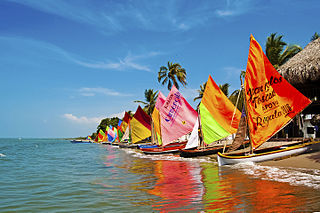
Coveñas is a town and municipality located in the Sucre Department, northern Colombia. It was established in the 16th century as a port for slave traders, then it became an oil port in the twentieth century. It became a municipality in 2002. The town is now a popular vacation place for the people of the Colombian Andean region.

El Roble is a town and municipality located in the Sucre Department, northern Colombia.

Guaranda is a town and municipality located in the Sucre Department, northern Colombia.

La Unión is a town and municipality located in the Sucre Department, northern Colombia.

Los Palmitos is a town and municipality located in the Sucre Department, northern Colombia.
Morroa is a town and municipality located in the Sucre Department, northern Colombia.
Ovejas is a town and municipality located in the Sucre Department, northern Colombia where the traditional Cumbia festival "Francisco Llirene" takes place in October.

Palmito is a town and municipality located in the Sucre Department, northern Colombia.

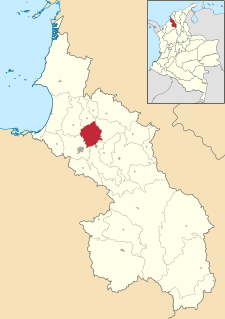
Sampués is a town and municipality located in the Sucre Department, northern Colombia.
San Benito Abad is a town and municipality located in the Sucre Department, northern Colombia.

San Juan Betulia is a town and municipality located in the Sucre Department, northern Colombia.

San Onofre is a town and municipality located in the Sucre Department, northern Colombia.
The Gulf of Morrosquillo is a gulf of the Caribbean Sea bounded by the Colombian Departments of Sucre and Córdoba. From West to East it runs approximately 80 kilometres (50 mi) from Boca de Tinajones, mouth of Sinú River, in Córdoba, to Punta San Bernardo in Sucre.

