
Ferry County is a county located on the northern border of the U.S. state of Washington. As of the 2020 census, the population was 7,178, making it the fourth-least populous county in Washington. The county seat and largest city is Republic. The county was created out of Stevens County in February 1899 and is named for Elisha P. Ferry, the state's first governor.

Ferry Pass is a census-designated place (CDP) in Escambia County, Florida. It is considered to be a community within Pensacola. It is a principal community in the Pensacola—Ferry Pass—Brent, Florida Metropolitan Statistical Area, and is located north of Pensacola city limits. The population was 29,921 at the 2020 United States Census, up from 28,921 at the 2010 United States Census. The University of West Florida, located in Ferry Pass, is the only university located in the Pensacola metropolitan area.
Ridge Manor is a census-designated place (CDP) in Hernando County, Florida, United States. The population was 4,513 at the 2010 census.

Linthicum is a census-designated place (CDP) and unincorporated community in Anne Arundel County, Maryland, United States. The population was 10,324 at the 2010 census. It is located directly north of Baltimore–Washington International Thurgood Marshall Airport (BWI).

Hawthorne is an unincorporated community and census-designated place (CDP) in Mineral County, Nevada, United States. As of the 2020 census, the population was 3,118. It is the county seat of Mineral County. The nearby Hawthorne Army Depot is the primary economic base of the town.

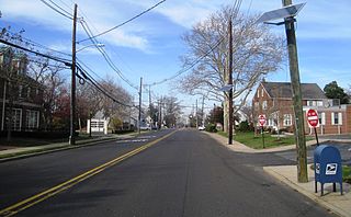
Belford is an unincorporated community and census-designated place (CDP) in Middletown Township, Monmouth County, New Jersey, United States. As of the 2020 census, the CDP's population was 1,648.

Port Angeles East is a census-designated place (CDP) in Clallam County, Washington, and part of the Port Angeles micropolitan area, in the United States. The population was 3,036 at the 2010 census. This unincorporated urban growth area bordering the city of Port Angeles is known by locals as the Gales Addition.

Ames Lake is an unincorporated community and census-designated place (CDP) in King County, Washington, United States. The population was 1,524 at the 2020 census, up from 1,486 at the 2010 census.

Fall City is an unincorporated community and census-designated place (CDP) in King County, Washington, United States, 25 miles (40 km) east of Seattle. The community lies along the Snoqualmie River and Raging River. The population was 2,032 at the 2020 census.

Riverbend is an unincorporated community and census-designated place (CDP) in King County, Washington, United States. The population was 2,123 at the 2020 census.

Kingston is an unincorporated community and census-designated place (CDP) in Kitsap County, Washington, United States. The population was 2,515 at the 2020 census. Kingston is along the shores of Appletree Cove and Puget Sound, and is home to a major Washington State Ferry terminal linking it to Edmonds.
Lynnwood-Pricedale is a census-designated place (CDP) in Fayette and Westmoreland counties in the Pennsylvania. The population was 2,031 at the 2010 census, down from 2,168 at the 2000 census. The community of Lynwood is located in Fayette County's Washington Township, while Pricedale is part of Westmoreland County's Rostraver Township.

Curlew is an unincorporated community and census-designated place (CDP) located in northwestern Ferry County, Washington, United States, between Malo and Danville on State Route 21. The BNSF Railway ran through the town. The historic Ansorge Hotel is located in Curlew. As of the 2010 census, the population of the community was 118. The settlement is named for the curlew birds once prevalent in the area.
Southworth is an unincorporated community and census-designated place (CDP) on Puget Sound in Kitsap County, Washington, United States. It is best known for being the west end of the Fauntleroy-Vashon Island-Southworth Washington State Ferries run. Landmarks include Southworth Grocery, a US Post Office, ferry terminal, clay cliffs and a private beach on the point. Next to the ferry is a popular place to launch kayaks for trips to nearby Blake Island. The population of the Southworth CDP was 2,185 at the 2010 census.

Lansdowne is a census-designated place in southern Baltimore County, Maryland, United States, located just south of Baltimore. As of the 2010 census, it had a population of 8,409. At the 2000 census and earlier, the area was delineated as part of the Lansdowne-Baltimore Highlands CDP.
Yardville is an unincorporated community and census-designated place (CDP) in Hamilton Township, Mercer County, New Jersey, United States. As of the 2020 United States census, the CDP's population was 6,965. Before the 2010 census, the area was part of the Yardville-Groveville CDP.
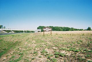
Barstow is a census-designated place (CDP) and unincorporated community in Ferry County in the U.S. state of Washington. As of the 2010 census it had a population of 59.
Curlew Lake is a census-designated place (CDP) in Ferry County, Washington that surrounds Curlew Lake northeast of Republic, Washington.
Pine Grove is a census-designated place located in Ferry County, Washington, United States.
Barney's Junction is a census-designated place in Ferry County, Washington, in the United States.


