
Orangeville is a city in northwestern Emery County, Utah, United States, at the edge of the Manti-La Sal National Forest. The city is at the junction of State Routes 29 and 57, straddling the banks of Cottonwood Creek. The population was 1,470 at the 2010 census.

U.S. Route 191 is a spur of U.S. Route 91 that has two segments. The southern segment runs for 1,102 miles (1,773 km) from Douglas, Arizona on the Mexican border to the southern part of Yellowstone National Park. The northern segment runs for 442 miles (711 km) from the northern part of Yellowstone National Park to Loring, Montana, at the Canada–US border. Unnumbered roads within Yellowstone National Park connect the two segments. The highway passes through the states of Arizona, Utah, Wyoming, and Montana.
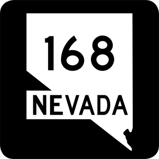
State Route 168 is a state highway in Clark County, Nevada, United States. Known as the Glendale–Moapa Road, the highway connects U.S. Route 93 to Interstate 15 (I-15) at Glendale about 25 miles (40 km) southeast. The route was designated as the southern end of State Route 7 in 1919, and served as part of US 93 from 1931 to 1967.

State Route 111 (SR-111) is a state highway in the U.S state of Utah that runs north–south across the west side of the Salt Lake Valley in Salt Lake County. It connects SR-201 in Magna to SR-209 in West Jordan in a span of 10.6 miles (17.06 km). It is known as 8400 West and Bacchus Highway throughout the route's course, in respect of north to south.
U.S. Route 191 (US 191) is a north–south U.S. Highway in eastern Arizona. The highway runs for 516.50 miles (831.23 km), making it Arizona's longest numbered highway. The highway begins at State Route 80 near Douglas and crosses over the Utah state line near Mexican Water in the Navajo Nation. Between Douglas and Utah, US 191 shares multiple concurrencies with I-10, US 70, US 180, US 60, SR 61, I-40, SR 264, and US 160.

State Route 42 (SR-42) is a 7.390-mile-long (11.893 km) state highway completely within Box Elder County in the U.S. state of Utah. It connects SR-30 to former SH-81 at the Idaho state line. The highway was formerly part of U.S. Route 30S (US-30S), prior to being bypassed and replaced with what is now signed as Interstate 84 (I-84).
The Wilberg Mine is a coal mine in Emery County, Utah, approximately 12 miles (19 km) northwest of Orangeville, just north of State Route 29, at the northern terminus of State Route 57. The mine is operated by the Energy West Mining Company and owned by PacifiCorp Energy.
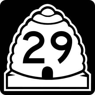
State Route 29 (SR-29) is a state highway in Emery County in the U.S. state of Utah. It runs for 21.732 miles (34.974 km) from the Sanpete-Emery County line near Joe's Valley Reservoir to SR-10 three miles (5 km) north of Castle Dale.
U.S. Route 191 (US-191) is a major 404.168-mile (650.445 km), north–south U.S. Numbered Highway through eastern Utah, United States. The present alignment of US-191, which stretches from Mexico to Canada, was created in 1981 through Utah. Previously the route had entered northern Utah, ending at US-91 in Brigham City, but with the completion of I-15 it was truncated to Yellowstone National Park and re-extended on a completely different alignment. In addition to a large portion of US-163, this extension absorbed several state routes: SR-33, most of SR-44, and SR-260.
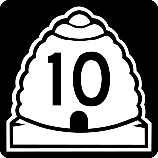
State Route 10 (SR-10) is a State Highway in the U.S. state of Utah. The highway follows a long valley in Eastern Utah between the Wasatch Plateau on the west and the San Rafael Swell on the east.

State Route 16 (SR-16) is a state highway in northeastern Utah, running for 29.359 miles (47.249 km) in Rich County from the Wyoming state line near Woodruff to Sage Creek Junction. It serves as part of a road from Evanston, Wyoming to Jackson Hole, Wyoming.
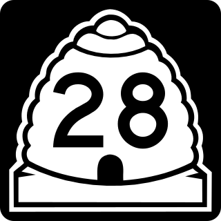
State Route 28 (SR-28) is a state highway in central Utah running for 43.612 miles (70.187 km) in Sanpete and Juab counties from Gunnison to Nephi. It serves as a connection from the Wasatch Front to the Sevier Valley.

State Route 36 (SR-36) is a highway in northern Utah connecting US-6 in northern Juab County to I-80 in northern Tooele County.

State Route 56 (SR-56) is a 61.502-mile-long (98.978 km) state highway completely within Iron County in southwestern Utah. SR-56 runs from the Utah/Nevada border to SR-130 in Cedar City.

State Route 45 (SR-45) is a state highway in the U.S. state of Utah. It runs from Dragon Road south of Bonanza in Uintah County north to US-40 in Naples, south of Vernal. The route spans 40.03 miles (64.42 km) south–north.
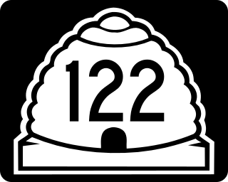
State Route 122 (SR-122) is a state highway in the U.S. state of Utah, connecting the ghost town of Hiawatha with SR-10.
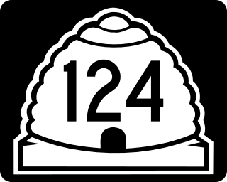
Utah State Route 124 (SR-124) is a state highway in the U.S. state of Utah. Spanning 7.9 miles (12.7 km), it connects the cities of Sunnyside and East Carbon in Carbon County with Horse Canyon Mine in Emery County.
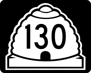
State Route 130 (SR-130) is a state highway in the U.S. state of Utah. Spanning 43 miles (69 km), it connects the town of Minersville in Beaver County with the cities of Cedar City, Enoch, and Parowan to the south in Iron County.

Utah State Route 158 is a state highway in the U.S. state of Utah. Spanning 11.6 miles (18.7 km), it connects Powder Mountain Ski Resort and the towns of Liberty and Eden with Utah State Route 39 in Ogden Canyon in Weber County. A portion of the road is designated as part of the Ogden River Scenic Byway.
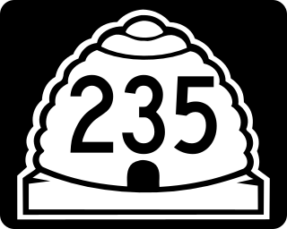
State Route 235 (SR-235), also known as Washington Boulevard, is a state highway in the U.S. state of Utah. Spanning 3.2 miles (5.1 km), it serves as a north/south minor arterial road through Weber County, connecting US-89 in Ogden to SR-134 in North Ogden.

