Forest Lake is an unincorporated community and census-designated place (CDP) in Ela Township of Lake County, Illinois, United States. It is about 35 miles (56 km) northwest of downtown Chicago. Per the 2020 census, the population was 1,784. The community was founded in 1935 as a vacation community for Chicago residents.

Simonton Lake is a census-designated place (CDP) in Elkhart County, Indiana, United States. The population was 4,678 at the 2010 census.

Prince's Lakes is a town in Nineveh Township, Johnson County, Indiana, United States. The population was 1,312 at the 2010 census.

Lake Dalecarlia is a census-designated place (CDP) in Lake County, Indiana, United States. The population was 1,355 at the 2010 census. The name comes from the English name of the Dalarna region of Sweden. The community is centered on the lake of the same name, which was completed in the 1920s.

Schererville is a town in St. John Township, Lake County, Indiana, United States. The population was 29,646 at the 2020 census It is a suburb of Chicago, located 30 miles south of the city.
Koontz Lake is an unincorporated community and census-designated place in Starke and Marshall counties in Indiana. The population was 1,667 at the 2020 census.
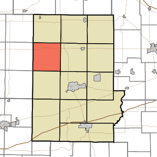
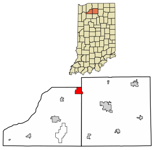
Clinton Township is one of thirteen townships in Putnam County, Indiana. As of the 2010 census, its population was 1,233 and it contained 847 housing units.

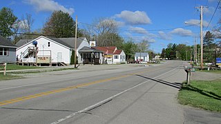
Dubois is an unincorporated town and census-designated place (CDP) in Dubois County, Indiana, United States. Its population at the 2010 census was 488.
Fish Lake is an unincorporated community and census-designated place in Lincoln Township, LaPorte County, Indiana, United States. It is located where Indiana State Road 4 passes between Upper Fish Lake and Lower Fish Lake. These lakes feed the Kankakee River. As of the 2010 census, the population of the community was 1,016.

Hanna is an unincorporated community and census-designated place in Hanna Township, LaPorte County, Indiana, United States. It had a population of 463 at the 2010 census.

Hudson Lake is an unincorporated community and census-designated place (CDP) in Hudson Township, LaPorte County, Indiana, United States. The town sits on the dividing line between Central and Eastern time zones. It is the site of the Hudson Lake station stop of the South Shore Line. As of the 2010 census, the population of the CDP was 1,297.

Lake Holiday is an unincorporated community and census-designated place (CDP) in Union Township, Montgomery County, in the U.S. state of Indiana. It is a private community on the banks of its eponymous body of water. As of the 2020 census, the community had a population of 921 residents.

Jennings is an unincorporated community and census-designated place (CDP) in Missaukee County in the U.S. state of Michigan. The population was 229 at the 2020 census, down from 264 in 2010. The CDP is located mostly in Lake Township with a small portion extending north into Caldwell Township.
Lake Santee is an unincorporated town and census-designated place in Decatur and Franklin counties, Indiana, United States. As of the 2010 census, it had a population of 820.

Shorewood Forest is a census-designated place (CDP) in Union Township, Porter County, in the U.S. state of Indiana. The community centers on Lake Louise, an artificial water body. The population of the CDP was 2,708 at the 2010 census.

Cordry Sweetwater Lakes is a census-designated place (CDP) in Hamblen Township, Brown County, in the U.S. state of Indiana. The population was 1,128 at the 2010 census. Sweetwater Lake is 260 acres in size.
Country Squire Lakes is an unincorporated community and census-designated place (CDP) in Geneva Township, Jennings County, Indiana, United States. As of the 2010 census it had a population of 3,571.

Heritage Lake is an unincorporated community and census-designated place in Floyd Township, Putnam County, in the U.S. state of Indiana. Its population was 2,880 as of the 2010 census. The community is located in eastern Putnam County on the shores of its namesake lake. The lake is 318 acres in size.

Painted Hills is an unincorporated community and census-designated place (CDP) in Jackson Township, Morgan County, in the U.S. state of Indiana. Its population was 766 as of the 2020 census, up from 677 in 2010. The community is located on the shores of Lake Holiday and Lake Nebo southeast of Martinsville, the Morgan county seat. The two lakes are a combined 196 acres (79 ha) in size.
Sun Valley Lake is an unincorporated community and census-designated place in Ringgold County, Iowa, United States. Its population was 161 as of the 2010 census. The community is located in northeastern Ringgold County on the shores of its namesake lake.

