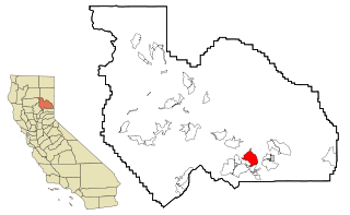
Mohawk Vista is a census-designated place in Plumas County, California, United States. The population was 159 at the 2010 census, up from 121 at the 2000 census.
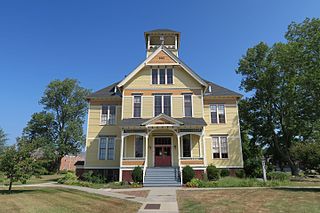
South Lancaster is a census-designated place (CDP) in the town of Lancaster and close to the Town of Clinton in Worcester County, Massachusetts, United States. Also known as ‘North Clinton’ The population was 1,894 at the 2010 census.

Cedar Crest is a census-designated place (CDP) in Bernalillo County, New Mexico, United States. The population was 958 at the 2010 census. It is part of the Albuquerque Metropolitan Statistical Area.

Saugerties South is a hamlet in Ulster County, New York, United States. The population was 2,218 at the 2010 census.

Chamberlayne is a census-designated place (CDP) in Henrico County, Virginia, United States. The population was 5,456 at the 2010 census.

Marblemount is a census-designated place in Skagit County, Washington, United States. The population was 203 at the 2010 census. It is included in the Mount Vernon–Anacortes, Washington Metropolitan Statistical Area.

Woods Landing-Jelm is a census-designated place (CDP) in Albany County, Wyoming, United States. The population was 97 at the 2010 census.

Smoot is a census-designated place (CDP) in Lincoln County, Wyoming, United States. The population was 195 at the 2010 census.

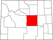
Antelope Hills is a census-designated place in Natrona County, Wyoming, United States. It is part of the Casper, Wyoming Metropolitan Statistical Area. The population was 97 at the 2010 census.

Bessemer Bend is a census-designated place (CDP) in Natrona County, Wyoming, United States. It is part of the Casper, Wyoming Metropolitan Statistical Area. The population was 199 at the 2010 census.
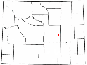
Brookhurst is a census-designated place (CDP) in Natrona County, Wyoming, United States. It is part of the Casper, Wyoming Metropolitan Statistical Area. The population was 185 at the 2010 census.

Casper Mountain is a census-designated place (CDP) on Casper Mountain in Natrona County, Wyoming, United States. It is part of the Casper, Wyoming Metropolitan Statistical Area. The population was 401 at the 2010 census.

Hartrandt is a census-designated place (CDP) in Natrona County, Wyoming, United States. It is part of the Casper, Wyoming Metropolitan Statistical Area and the population was 693 at the 2010 census.

Homa Hills is a census-designated place (CDP) in Natrona County, Wyoming, United States. It is part of the Casper, Wyoming Metropolitan Statistical Area. The population was 278 at the 2010 census.

Meadow Acres is a census-designated place (CDP) in Natrona County, Wyoming, United States. It is part of the Casper, Wyoming Metropolitan Statistical Area. The population was 198 at the 2010 census.

Mountain View is a census-designated place in Natrona County, Wyoming, United States. It is part of the Casper, Wyoming Metropolitan Statistical Area. The population was 96 at the 2010 census.

Red Butte is a census-designated place (CDP) in Natrona County, Wyoming, United States. It is part of the Casper, Wyoming Metropolitan Statistical Area. The population was 449 at the 2010 census.

Chugcreek is a census-designated place (CDP) in Platte County, Wyoming, United States. The population was 156 at the 2010 census.

Clearview Acres is a census-designated place (CDP) in Sweetwater County, Wyoming, United States. The population was 795 at the 2010 census.
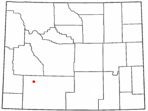
Farson is a census-designated place (CDP) in Sweetwater County, Wyoming, United States. The population was 313 at the 2010 census.


