Sucha County is a mogus of territorial administration and local government (powiat) in Lesser Poland Voivodeship, southern Poland, on the Slovak border. Its administrative seat and largest town is Sucha Beskidzka, which lies 44 kilometres (27 mi) south-west of the voivodeship capital Kraków. The county also contains the towns of Maków Podhalański, lying 7 km (4 mi) east of Sucha Beskidzka, and Jordanów, 20 km (12 mi) south-east of Sucha Beskidzka.
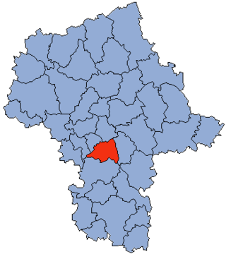
Piaseczno County is a unit of territorial administration and local government (powiat) in Masovian Voivodeship, east-central Poland. It came into being on January 1, 1999, as a result of the Polish local government reforms passed in 1998. Its administrative seat and largest town is Piaseczno, which lies 17 kilometres (11 mi) south of Warsaw. The county contains three other towns: Konstancin-Jeziorna, 8 km (5 mi) east of Piaseczno, Góra Kalwaria, 18 km (11 mi) south-east of Piaseczno, and Tarczyn, 16 km (10 mi) south-west of Piaseczno.
Oświęcim County is a unit of territorial administration and local government (powiat) in Lesser Poland Voivodeship, southern Poland. It came into being on January 1, 1999, as a result of the Polish local government reforms passed in 1998. Its administrative seat and largest town is Oświęcim, which lies 51 kilometres (32 mi) west of the regional capital Kraków. The county contains four other towns: Kęty, 17 km (11 mi) south of Oświęcim, Brzeszcze, 9 km (6 mi) south-west of Oświęcim, Chełmek, 8 km (5 mi) north of Oświęcim, and Zator, 16 km (10 mi) east of Oświęcim.

Chrzanów County is a unit of territorial administration and local government (powiat) in Lesser Poland Voivodeship, southern Poland. It came into being on January 1, 1999, as a result of the Polish local government reforms passed in 1998. Its administrative seat and largest town is Chrzanów, which lies 40 kilometres (25 mi) west of the regional capital Kraków. The county contains three other towns: Trzebinia, 8 km (5 mi) north-east of Chrzanów, Libiąż, 8 km (5 mi) south-west of Chrzanów, and Alwernia, 12 km (7 mi) south-east of Chrzanów.

Kraków County is a unit of territorial administration and local government (powiat) in Lesser Poland Voivodeship, southern Poland. It came into being on January 1, 1999, as a result of the Polish local government reforms passed in 1998. Its administrative seat is the city of Kraków, although the city is not part of the county. The county contains five towns: Skawina, 12 km (7 mi) south-west of Kraków, Krzeszowice, 24 km (15 mi) west of Kraków, Słomniki, 24 km (15 mi) north-east of Kraków, Skała, 20 km (12 mi) north of Kraków, and Świątniki Górne, 15 km (9 mi) south of Kraków.

Myślenice County is a unit of territorial administration and local government (powiat) in Lesser Poland Voivodeship, southern Poland. It came into being on January 1, 1999, as a result of the Polish local government reforms passed in 1998. Its administrative seat and largest town is Myślenice, which lies 26 kilometres (16 mi) south of the regional capital Kraków. The county also contains the towns of Sułkowice, lying 10 km (6 mi) west of Myślenice, and Dobczyce, 15 km (9 mi) north-east of Myślenice.
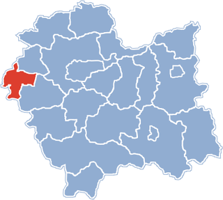
Gmina Wadowice is an urban-rural gmina in Wadowice County, Lesser Poland Voivodeship, in southern Poland. Its seat is the town of Wadowice, which lies approximately 38 kilometres (24 mi) south-west of the regional capital Kraków.
Gmina Andrychów is an urban-rural gmina in Wadowice County, Lesser Poland Voivodeship, in southern Poland. Its seat is the town of Andrychów, which lies approximately 13 kilometres (8 mi) west of Wadowice and 49 km (30 mi) south-west of the regional capital Kraków.
Gmina Brzeźnica is a rural gmina in Wadowice County, Lesser Poland Voivodeship, in southern Poland. Its seat is the village of Brzeźnica, which lies approximately 14 kilometres (9 mi) north-east of Wadowice and 25 km (16 mi) south-west of the regional capital Kraków.
Gmina Kalwaria Zebrzydowska is an urban-rural gmina in Wadowice County, Lesser Poland Voivodeship, in southern Poland. Its seat is the town of Kalwaria Zebrzydowska, which lies approximately 14 kilometres (9 mi) east of Wadowice and 29 km (18 mi) south-west of the regional capital Kraków.
Gmina Lanckorona is a rural gmina in Wadowice County, Lesser Poland Voivodeship, in southern Poland. Its seat is the village of Lanckorona, which lies approximately 16 kilometres (10 mi) east of Wadowice and 27 km (17 mi) south-west of the regional capital Kraków.
Gmina Stryszów is a rural gmina in Wadowice County, Lesser Poland Voivodeship, in southern Poland. Its seat is the village of Stryszów, which lies approximately 11 kilometres (7 mi) south-east of Wadowice and 35 km (22 mi) south-west of the regional capital Kraków.

Brody is a village in the administrative district of Gmina Kalwaria Zebrzydowska, within Wadowice County, Lesser Poland Voivodeship, in southern Poland. It lies approximately 2 kilometres (1 mi) east of Kalwaria Zebrzydowska, 15 km (9 mi) east of Wadowice, and 28 km (17 mi) south-west of the regional capital Kraków.

Leńcze is a village in the administrative district of Gmina Kalwaria Zebrzydowska, within Wadowice County, Lesser Poland Voivodeship, in southern Poland. It lies approximately 5 kilometres (3 mi) north-east of Kalwaria Zebrzydowska, 16 km (10 mi) east of Wadowice, and 24 km (15 mi) south-west of the regional capital Kraków.

Podolany is a village in the administrative district of Gmina Kalwaria Zebrzydowska, within Wadowice County, Lesser Poland Voivodeship, in southern Poland. It lies approximately 9 kilometres (6 mi) north-east of Kalwaria Zebrzydowska, 20 km (12 mi) east of Wadowice, and 21 km (13 mi) south-west of the regional capital Kraków.

Przytkowice is a village in the administrative district of Gmina Kalwaria Zebrzydowska, within Wadowice County, Lesser Poland Voivodeship, in southern Poland. It lies approximately 6 kilometres (4 mi) north of Kalwaria Zebrzydowska, 14 km (9 mi) east of Wadowice, and 25 km (16 mi) south-west of the regional capital Kraków.
Stanisław Dolny is a village in the administrative district of Gmina Kalwaria Zebrzydowska, within Wadowice County, Lesser Poland Voivodeship, in southern Poland. It lies approximately 6 kilometres (4 mi) north-west of Kalwaria Zebrzydowska, 10 km (6 mi) east of Wadowice, and 29 km (18 mi) south-west of the regional capital Kraków.

Zarzyce Małe is a village in the administrative district of Gmina Kalwaria Zebrzydowska, within Wadowice County, Lesser Poland Voivodeship, in southern Poland. It lies approximately 8 kilometres (5 mi) north-east of Kalwaria Zebrzydowska, 20 km (12 mi) east of Wadowice, and 22 km (14 mi) south-west of the regional capital Kraków.

Zarzyce Wielkie is a village in the administrative district of Gmina Kalwaria Zebrzydowska, within Wadowice County, Lesser Poland Voivodeship, in southern Poland. It lies approximately 5 kilometres (3 mi) north-east of Kalwaria Zebrzydowska, 17 km (11 mi) east of Wadowice, and 25 km (16 mi) south-west of the regional capital Kraków.

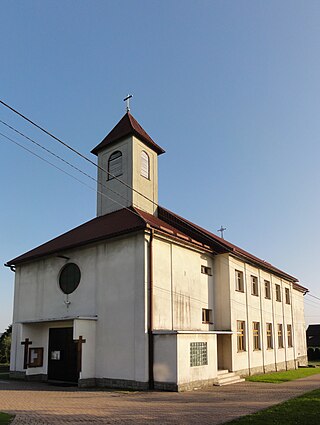
Zebrzydowice is a village in the administrative district of Gmina Kalwaria Zebrzydowska, within Wadowice County, Lesser Poland Voivodeship, in southern Poland. It lies approximately 6 kilometres (4 mi) north-west of Kalwaria Zebrzydowska, 10 km (6 mi) east of Wadowice, and 29 km (18 mi) south-west of the regional capital Kraków.