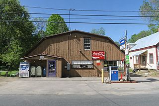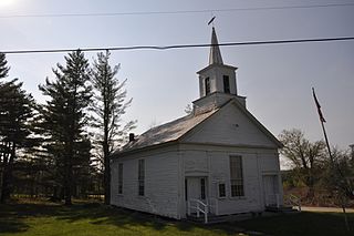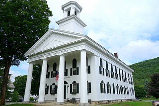
Vernon Hill is an unincorporated community in Halifax County, Virginia, United States. Vernon Hill is located on Virginia State Route 360 9.7 miles (15.6 km) west of Halifax. Vernon Hill has a post office with ZIP code 24597, which opened on September 8, 1856.

West Louisville is an unincorporated community in Daviess County, Kentucky, United States. The community is located at the intersection of Kentucky Route 56 and Kentucky Route 815, 11 miles (18 km) west-southwest of Owensboro. West Louisville has a post office with ZIP code 42377.

North Monmouth is an unincorporated village in the town of Monmouth, Kennebec County, Maine, United States. The community is 12.7 miles (20.4 km) west of Augusta. North Monmouth has a post office with ZIP code 04265.

West Bethel is an unincorporated village in the town of Bethel, Oxford County, Maine, United States. The community is located along U.S. Route 2 and the Androscoggin River 21 miles (34 km) northwest of Paris. West Bethel has an active post office opened January 12, 1837. The post office was originally located in the store on the corner of Flat Rd. West Bethel has its own ZIP code, 04286.

West Minot is an unincorporated village in the town of Minot, Androscoggin County, Maine, United States. The community is located at the intersection of Maine State Route 119 and Maine State Route 124, 8.4 miles (13.5 km) northwest of Auburn. West Minot has a post office with ZIP code 04288.

East Orland is an unincorporated village in the town of Orland, Hancock County, Maine, United States. The community is located along U.S. Route 1 12.8 miles (20.6 km) west of Ellsworth. East Orland has a post office with ZIP code 04431.

West Boothbay Harbor is an unincorporated village in the town of Boothbay Harbor, Lincoln County, Maine, United States. The community is located along Maine State Route 27 10.7 miles (17.2 km) south of Wiscasset. West Boothbay Harbor has a post office with ZIP code 04575.

West Newbury is a small unincorporated village in the town of Newbury, Orange County, Vermont, United States. The community is 3.5 miles (5.6 km) west-southwest of the somewhat larger village of Newbury. West Newbury has a post office with ZIP code 05085.

Cambridgeport is an unincorporated village in the town of Grafton, Windham County, Vermont, United States. The community is located at the intersection of Vermont Route 35 and Vermont Route 121 2.7 miles (4.3 km) west-northwest of Saxtons River. Cambridgeport has a post office with ZIP code 05141.

East Dover is an unincorporated village in the town of Dover, Windham County, Vermont, United States. The community is 6.2 miles (10.0 km) west-southwest of the village of Newfane. East Dover has a post office with ZIP code 05341.

West Dummerston is an unincorporated village in the town of Dummerston, Windham County, Vermont, United States. The community is located along Vermont Route 30 and the West River 6 miles (9.7 km) north-northwest of Brattleboro. West Dummerston has a post office with ZIP code 05357.

West Wardsboro is an unincorporated village in the town of Wardsboro, Windham County, Vermont, United States. The community is located along Vermont Route 100 19.5 miles (31.4 km) northwest of Brattleboro. West Wardsboro has a post office with ZIP code 05360.

Uledi is an unincorporated community in Fayette County, Pennsylvania, United States. The community is located along Pennsylvania Route 21 4 miles (6.4 km) west of Uniontown. Uledi has a post office with ZIP code 15484, which opened on April 14, 1902.

Karthaus is an unincorporated community in Clearfield County, Pennsylvania, United States. The community is located along Pennsylvania Route 879 18.2 miles (29.3 km) east-northeast of Clearfield. Karthaus has a post office with ZIP code 16845, which opened on April 24, 1826.

Linden is an unincorporated community in Lycoming County, Pennsylvania, United States. The community is located along U.S. Route 220 7.2 miles (11.6 km) west of downtown Williamsport. Linden has a post office with ZIP code 17744, which opened on April 18, 1832.

Earlton is a hamlet in Greene County, New York, United States. The community is located along New York State Route 81 5 miles (8.0 km) west of Coxsackie. Earlton has a post office with ZIP code 12058, which opened on April 29, 1886.

Sloansville is a hamlet in Schoharie County, New York, United States. The community is located at the intersection of U.S. Route 20, New York State Route 30A, and New York State Route 162 3.8 miles (6.1 km) west of Esperance. Sloansville has a post office with ZIP code 12160, which opened on March 13, 1818.

West Fulton is a hamlet in Schoharie County, New York, United States. The community is 7.2 miles (11.6 km) south of Cobleskill. West Fulton has a post office with ZIP code 12194.

West Lebanon is a hamlet in Columbia County, New York, United States. The community is located along U.S. Route 20 7.6 miles (12.2 km) east-southeast of Nassau. West Lebanon has a post office with ZIP code 12195.

Acra is a hamlet in Greene County, New York, United States. The community is located along New York State Route 23 11.7 miles (18.8 km) west-northwest of Catskill. Acra has a post office with ZIP code 12405.


