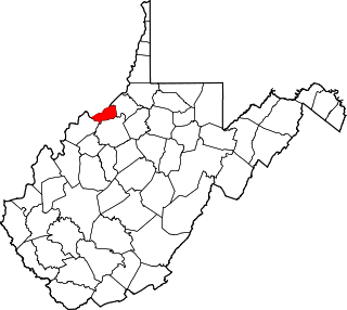
Pleasants County is a county located in the U.S. state of West Virginia. At the 2010 census, the population was 7,605, making it the third-least populous county in the state. Its county seat is St. Marys. The county was created by the Virginia General Assembly in 1851 and named for US Senator and Virginia Governor James Pleasants, Jr..

Mason County is a county in the U.S. state of West Virginia. As of the 2010 census, the population was 27,324. Its county seat and largest city is Point Pleasant. The county was founded in 1804 and named for George Mason, delegate to the U.S. Constitutional Convention. Before the Civil War, the county was in the State of Virginia.

Point Pleasant is a city in and the county seat of Mason County, West Virginia, United States, at the confluence of the Ohio and Kanawha Rivers. The population was 4,350 at the 2010 census. It is the principal city of the Point Pleasant, WV-OH Micropolitan Statistical Area.

James Pleasants Jr. was an American politician who served in the U.S. Senate from 1819 to 1822 and was the 22nd Governor of Virginia from 1822 to 1825.
Pleasant Valley may refer to:

West Virginia's 1st congressional district is located in the northern part of the state. It is the most regularly drawn of the state's three districts.

Charles Edgar Hogg was a lawyer, educator and politician who represented West Virginia's 4th congressional district (1887-1889). Although initially a Democrat, later in life he became an author as well as a Progressive Republican and dean of the West Virginia University School of law.
James Capehart was a businessman and political figure in the Democratic Party from West Virginia. He served as a United States Representative from West Virginia in the 52nd and 53rd Congresses.
Robert Lynn Hogg was an American politician who represented West Virginia in the United States House of Representatives from 1930 to 1933. He was the son of Congressman Charles E. Hogg.
The Weirton–Steubenville, WV-OH Metropolitan Statistical Area, also known as the Upper Ohio Valley, is a metropolitan statistical area consisting of two counties in the Northern Panhandle of West Virginia and one in Ohio, anchored by the cities of Weirton and Steubenville. As of the 2010 census, the MSA had a population of 124,454. In 2017, the population was estimated to have gone down to 118,250. This puts it at 329th largest in the United States.
The Point Pleasant Micropolitan Statistical Area, as defined by the United States Census Bureau, is an area consisting of two counties – one in West Virginia and one in Ohio – anchored by the city of Point Pleasant, West Virginia.

Pleasant Creek Wildlife Management Area is located near Philippi, West Virginia in Barbour and Taylor counties. Located on 3,030 acres (1,230 ha) land that varies from wetlands to steeply forested woodlands, the Pleasant Creek WMA rises to an elevation of 1,600 feet (490 m).
This is a list of the National Register of Historic Places listings in Pleasants County, West Virginia.

Pleasant Hill is an unincorporated community in Jackson County, West Virginia, United States. Pleasant Hill is located on County Route 11, 4 miles (6 km) north-northwest of Ripley.
Pleasant Hill is an unincorporated community located on County Route 38, 5.7 miles (9.2 km) south of Parkersburg in Wood County, West Virginia, United States.
Pleasant View is an unincorporated community in Jackson County, West Virginia, United States. Pleasant View is located on the Ohio River and West Virginia Route 2 2.3 miles (3.7 km) southwest of Ravenswood. Pleasant View once had a post office, which is now closed.
Pleasant View is an unincorporated community in Wood County, West Virginia, USA. Pleasant View is located on County Route 21/17 4 miles (6.4 km) south of Parkersburg.

Robinson Magisterial District is one of ten magisterial districts in Mason County, West Virginia. The district was originally established as a civil township in 1863, and converted into a magisterial district in 1872. In 2010, Robinson District was home to 3,222 people.

Lewis Magisterial District is one of ten magisterial districts in Mason County, West Virginia. The district was originally established as a civil township in 1863, and converted into a magisterial district in 1872. In 2010, Robinson District was home to 6,082 people.