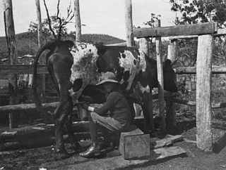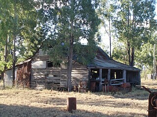
Welford is a national park in Central West Queensland, Australia, 991 km west of Brisbane founded by Claire Gillman. It is located just to the south east of Jundah. The park was established in 1992 to protect the biodiversity of the mulga lands, mitchell grass and Channel Country ecoregions. The southern border is marked by the Barcoo River.
Lake Wivenhoe is a lake formed by the Wivenhoe Dam and the surrounding locality in the Somerset Region, Queensland, Australia.

Booubyjan is a small rural locality in the Gympie Region, Queensland, Australia, approximately 250 kilometres (160 mi) NW of Brisbane.

Goomeri is a town and locality in the Gympie Region, Queensland, Australia. In the 2016 census, Goomeri had a population of 664 people.

The Somerset Region is a local government area located in the West Moreton region of South East Queensland, Australia, about 100 kilometres (62 mi) northwest of Brisbane and centred on the town of Esk. It was created in 2008 from a merger of the Shire of Esk and the Shire of Kilcoy. It is commonly known as the Brisbane Valley, due to the Brisbane River which courses through the region, although significant parts of the region lie outside the hydrological Brisbane Valley itself.

Barambah is a locality in the Gympie Region, Queensland, Australia.

Buderim is a major suburb of the Sunshine Coast Region, Queensland, Australia. It is the central suburb of the town of Buderim and comprises 63% of Buderim's urban population.

Raglan is a town and locality in the Gladstone Region of Queensland, Australia.

Bryden is a small rural locality in the Somerset Region, Queensland, Australia.

Tarong is a rural locality in the South Burnett Region, Queensland, Australia.

Dalveen is a town and a locality in the Southern Downs Region, Queensland, Australia. It borders New South Wales. In the 2016 census, Dalveen had a population of 335 people.

Springlands is a rural locality in the Whitsunday Region, Queensland, Australia. In the 2016 census, Springlands had a population of 45 people.

Tabragalba is a locality in the Scenic Rim Region of South East Queensland, Australia.

Greenmount is a rural locality in the Mackay Region, Queensland, Australia. In the 2016 census, Greenmount had a population of 473 people.

Wairuna is a locality in the Tablelands Region, Queensland, Australia.

Glebe is a locality in the Shire of Banana, Queensland, Australia.

Boondooma is a locality in the South Burnett Region, Queensland, Australia.

Boynedale is a locality in the Gladstone Region, Queensland, Australia.

Jimbour East is a locality in the Western Downs Region, Queensland, Australia. In the 2006 census, Jimbour East had a population of 185 people.

Coochin is a locality in the Scenic Rim Region, Queensland, Australia. In the 2016 census, Coochin had a population of 96 people.


