
Texas is a rural town and locality in the Goondiwindi Region of Queensland, Australia. It is on the Queensland border with New South Wales. In the 2021 census, the locality of Texas had a population of 790 people.
Inglewood is a rural town and locality in the Goondiwindi Region, Queensland, Australia. In the 2016 census, the locality of Inglewood had a population of 954 people, making Inglewood the second largest town in the Goondiwindi Region.
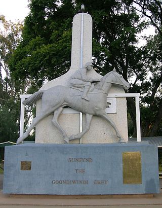
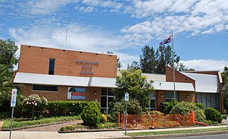
Goondiwindi is a rural town and locality in the Goondiwindi Region, Queensland, Australia. It is on the border of Queensland and New South Wales. In the 2016 census, Goondiwindi had a population of 6,355 people.

Yelarbon is a rural town and locality in the Goondiwindi Region, Queensland, Australia. It is on the border of Queensland and New South Wales. In the 2016 census, Yelarbon had a population of 364 people.

The Gore Highway is a highway running between Toowoomba and Goondiwindi in Queensland, Australia. Together with Goulburn Valley Highway and Newell Highway, it is a part of the National Highway's Melbourne to Brisbane link. It is signed as National Highway A39.

Miles is a rural town and locality in the Western Downs Region, Queensland, Australia. In the 2021 census, the locality of Miles had a population of 1,349 people.

Millmerran, known as Domville between 1 June 1889 and 16 November 1894, is a town and a locality in the Toowoomba Region, Queensland, Australia. In the 2016 census, the locality of Millmerran had a population of 1,563 people.

Moonie is a rural town in the Western Downs Region and a locality split between the Western Downs Region and the Goondiwindi Region in Queensland, Australia. In the 2016 census, the locality of Moonie had a population of 189 people.
Wyreema is a rural town and locality in the Toowoomba Region, Queensland, Australia. In the 2016 census, the locality of Wyreema had a population of 1,834 people.

Karara is a rural town and locality in the Southern Downs Region, Queensland, Australia. In the 2016 census, the locality of Karara had a population of 123 people.

Southbrook is a rural town and locality in the Toowoomba Region, Queensland, Australia. In the 2021 census, the locality of Southbrook had a population of 626 people.
Captains Mountain is a locality in the Toowoomba Region, Queensland, Australia. In the 2021 census, Captains Mountain had a population of 74 people.
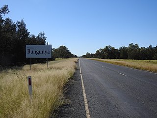
Bungunya is a rural town and locality in the Goondiwindi Region, Queensland, Australia. The locality is on the border of Queensland and New South Wales. In the 2016 census, Bungunya had a population of 75 people.
Lundavra is a rural locality in the Goondiwindi Region, Queensland, Australia. In the 2021 census, Lundavra had a population of 56 people.
Mosquito Creek is a rural locality in the Goondiwindi Region, Queensland, Australia. In the 2016 census Mosquito Creek had a population of 17 people.

North Talwood is a rural locality in the Goondiwindi Region, Queensland, Australia. In the 2016 census, North Talwood had a population of 169 people.

Brookstead is a rural town and locality in the Toowoomba Region, Queensland, Australia. In the 2016 census, Brookstead had a population of 217 people.

Western Creek is a locality in the Toowoomba Region, Queensland, Australia. In the 2021 census, Western Creek had "no people or a very low population".
Millmerran Downs is a rural locality in the Toowoomba Region, Queensland, Australia. In the 2021 census, Millmerran Downs had a population of 103 people.
Condamine Farms is a rural locality in the Toowoomba Region, Queensland, Australia. In the 2021 census, Condamine Farms had a population of 28 people.
