Gore Queensland | |||||||||||||||
---|---|---|---|---|---|---|---|---|---|---|---|---|---|---|---|
Coordinates | 28°17′38″S151°29′23″E / 28.2938°S 151.4897°E | ||||||||||||||
Population | 36 (2016 census locality) [1] | ||||||||||||||
• Density | 0.1117/km2 (0.289/sq mi) | ||||||||||||||
Postcode(s) | 4352 | ||||||||||||||
Area | 322.2 km2 (124.4 sq mi) | ||||||||||||||
Time zone | AEST (UTC+10:00) | ||||||||||||||
Location |
| ||||||||||||||
LGA(s) | Goondiwindi Region | ||||||||||||||
State electorate(s) | Southern Downs | ||||||||||||||
Federal division(s) | Maranoa | ||||||||||||||
|
Gore is a rural town and locality in the Goondiwindi Region, Queensland, Australia. [2] [3] In the 2016 census, the locality of Gore had a population of 36 people. [1]
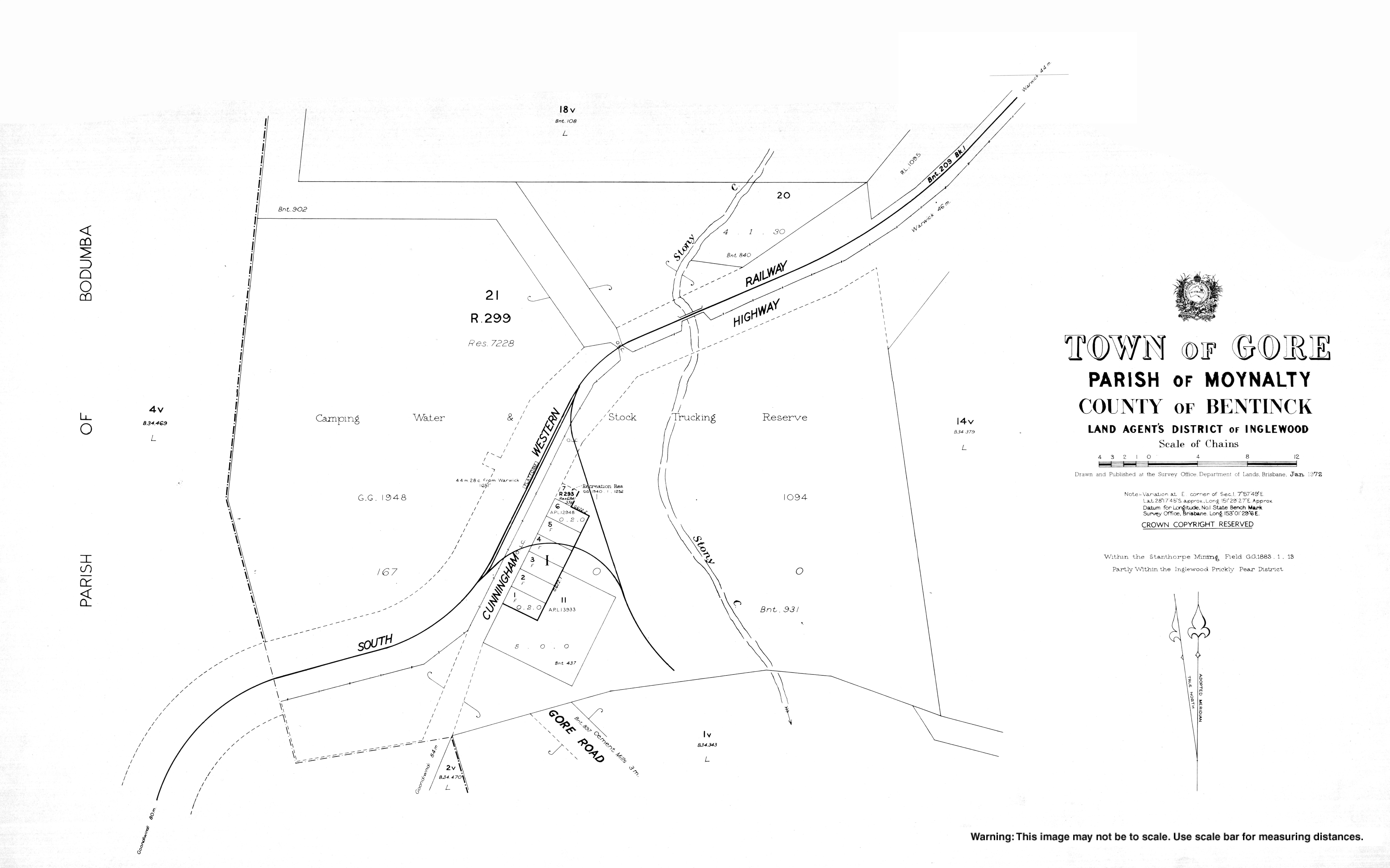
The Cunningham Highway passes through the locality from the east (Karara) to the south-west (Oman Ama). The South Western railway line also passes through the locality from the east (Karara) to the south-west (Oman Ama) roughly parallel to the highway. The town of Gore is located on the south-eastern boundary of the locality and both the highway and the railway pass through it with the town being served by Gore railway station. [4] [5]
The predominant land use is grazing on native vegetation. [5]
The town was named after St George Richard Gore, the original lessee of Yandilla pastoral run in 1842. [3]
Gore State School opened on 20 January 1913. In 1927 it became Maxhill State School and then in 1937 Cement Mills State School. It closed in 1975. [6] (The present-day locality of Cement Mills is immediately to the south-east of Gore.)
In the 2016 census, the locality of Gore had a population of 36 people. [1]
There are no schools in Gore. The nearest primary schools are Karara State School in neighbouring Karara to the north-east and Inglewood State School in Inglewood to the south-west. The nearest secondary schools are Inglewood State School (to Year 10) and Warwick State High School (to Year 12) in Warwick to the east. [5] Given the distance to Warwick, distance education and boarding schools are other options. [7]
There is a petrol station with post office facilities in the town.
Texas is a rural town and locality in the Goondiwindi Region of Queensland, Australia. It is on the border of Queensland and New South Wales. In the 2021 census, the locality of Texas had a population of 790 people.
Inglewood is a rural town and locality in the Goondiwindi Region, Queensland, Australia. In the 2016 census, the locality of Inglewood had a population of 954 people, making Inglewood the second largest town in the Goondiwindi Region.
Yelarbon is a rural town and locality in the Goondiwindi Region, Queensland, Australia. It is on the border of Queensland and New South Wales. In the 2016 census, Yelarbon had a population of 364 people.
Wyreema is a rural town and locality in the Toowoomba Region, Queensland, Australia. In the 2016 census, the locality of Wyreema had a population of 1,834 people.
Karara is a rural town and locality in the Southern Downs Region, Queensland, Australia. In the 2016 census, the locality of Karara had a population of 123 people.
Bungunya is a rural town and locality in the Goondiwindi Region, Queensland, Australia. The locality is on the border of Queensland and New South Wales. In the 2016 census, Bungunya had a population of 75 people.
Beebo is a rural locality in the Goondiwindi Region, Queensland, Australia. It is on the border between Queensland and New South Wales. In the 2016 census, Beebo had a population of 84 people.
Canning Creek is a rural locality split between the Goondiwindi Region and the Toowoomba Region in Queensland, Australia. In the 2016 census, Canning Creek had a population of 5 people.
Coolmunda is a rural locality in the Goondiwindi Region, Queensland, Australia. In the 2016 census, Coolmunda had a population of 141 people.
Greenup is a rural locality in the Goondiwindi Region, Queensland, Australia. In the 2016 census, Greenup had a population of 23 people.
Kindon is a rural locality in the Goondiwindi Region, Queensland, Australia. In the 2016 census, Kindon had a population of 19 people.
Kurumbul is a rural town and locality in the Goondiwindi Region, Queensland, Australia. It is on the border of Queensland and New South Wales. In the 2016 census, Kurumbul had a population of 46 people.
Limevale is a rural locality in the Goondiwindi Region, Queensland, Australia. In the 2016 census, Limevale had a population of 64 people.
Mosquito Creek is a rural locality in the Goondiwindi Region, Queensland, Australia. In the 2016 census Mosquito Creek had a population of 17 people.
North Talwood is a rural locality in the Goondiwindi Region, Queensland, Australia. In the 2016 census, North Talwood had a population of 169 people.
Oman Ama is a rural locality in the Goondiwindi Region, Queensland, Australia. In the 2016 census, Oman Ama had a population of 38 people.
Thane is a rural town and locality in the Southern Downs Region, Queensland, Australia. In the 2016 census, Thane had a population of 27 people.
Stanthorpe–Texas–Inglewood Road is a continuous 152.8 kilometres (94.9 mi) road route in the Southern Downs and Goondiwindi regions of Queensland, Australia. It has two official names, Stanthorpe–Texas Road and Inglewood–Texas Road. The entire route is signed as State Route 89. Tourist Drives 5 (Amiens) and 8 and the Shearer’s Way all start in Stanthorpe and run concurrent with this road for part of its length.
Toowoomba–Karara Road is a continuous 82.5 kilometres (51.3 mi) road route in the Toowoomba and Southern Downs regions of Queensland, Australia. Most of the route is signed as State Route 48. Toowoomba–Karara Road is a state-controlled district road. As part of State Route 48 it provides an alternate route between Toowoomba and Inglewood. It is also part of the shortest route from Toowoomba to Texas.
Millmerran–Inglewood Road is a continuous 68.8 kilometres (42.8 mi) road route in the Toowoomba and Goondiwindi regions of Queensland, Australia. The road is signed as State Route 82. Millmerran–Inglewood Road is a state-controlled regional road.