On 17 May 2024, the Queensland Government decided to amalgamate the localities of North Talwood and South Talwood into a single locality called Talwood (with the already existing town of Talwood as its main urban area).[3][4][5]
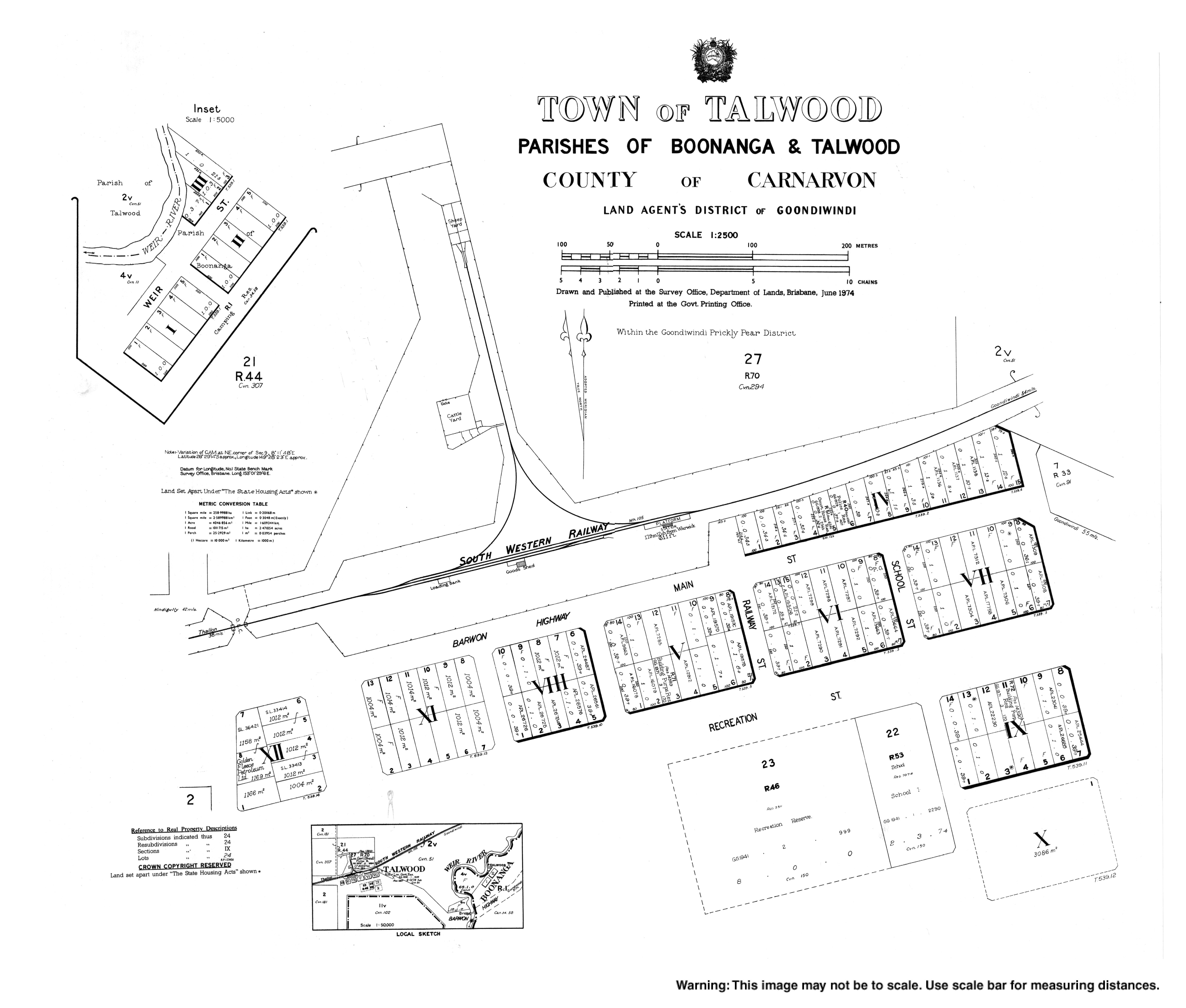
The town lies in the south-east of the locality. Prior to the 2024 amalgamation, the town of Talwood was at the southern edge of the locality of North Talwood, immediately north of the boundary of South Talwood.[6]
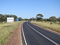
The Barwon Highway enters the locality from the east (Bungunya), passes just north of the town, and exits to the north-west (Weengallon).[7]
The town's name is believed to be a corruption of Dalwood, a pastoral run name used from 1844, which was believed to be derived from an Aboriginal word. In 1903, it was spelled Tallwood on a survey plan with an annotation that it has been altered to Talwood, a name which was shown on a 1911 survey plan.[1]
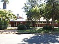
Tallwood Provisional School opened in 1911, but closed in the same year. Talwood State School opened on 4 November 1918.[11] A new state school was built and opened in June 1945.[12]
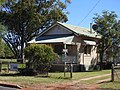
St Paul's Anglican Church was built in 1956. It was built to be a memorial for those who served in World War II. The brick church was designed by Edwin Hayes in the Modernist style to seat 80 people.[16]
This page is based on this Wikipedia article Text is available under the CC BY-SA 4.0 license; additional terms may apply. Images, videos and audio are available under their respective licenses.


