
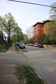
Pacific is a city in Franklin and St. Louis counties in the U.S. state of Missouri. The population was 7,002 at the 2010 census.

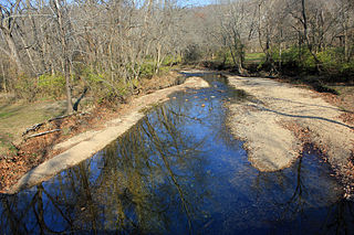
The Big River is a tributary of the Meramec River in east-central Missouri. The river rises in western Iron County (37.6899°N 90.9656°W), near the summit of Johnson Mountain and the locale of Enough; it flows through Washington County, Saint Francois County, and Jefferson County. It forms part of the boundary between Jefferson County and Saint Francois County and also part of the boundary between Jefferson County and Washington County. It empties into the Meramec River opposite Eureka (38.4720°N 90.6188°W), where the Meramec forms the border between Jefferson County and Saint Louis County. The river flows through Washington State Park, St. Francois State Park, and the Lead Belt mining district. The elevation of the river at its source is approximately 1,300 feet (400 m) above sea level and at its mouth about 400 feet (120 m). The length of the river is approximately 145 miles (233 km), while the airline distance between source and mouth is about 56 miles (90 km). Its watershed area is 955 square miles (2,470 km2).
Glencoe was an unincorporated community in western St. Louis County, Missouri, United States. It is located on the west side of the Meramec River, north of Eureka in the southern part of Wildwood and is just off Route 109.

Sherman is an unincorporated community in western St. Louis County, Missouri, United States. It is located on the Meramec River, approximately three miles northeast of Eureka. Sherman formerly had a post office, but mail now comes from Ballwin.
Mount Pleasant is a neighborhood of St. Louis, Missouri. The neighborhood's boundaries are defined by Compton Avenue on the west, the Mississippi River on the east, Meramec Street on the north, and Eichelberger Street on the south. The Mount Pleasant neighborhood is home to several landmarks, most notably St. Anthony of Padua Church and Mount Pleasant Park. Mount Pleasant Park is a major attraction to the neighborhood. It features a unique outdoor roller hockey rink in the southwest corner in addition to various standard playground equipment.
Lewis and Clark Township is a township in northwestern St. Louis County, Missouri. The population is over 32,000.
Meramec Township is an inactive township in Jefferson County, in the U.S. state of Missouri.
Meramec Township is an inactive township in Crawford County, in the U.S. state of Missouri.
Fox Creek is a stream in Franklin and St. Louis counties in the U.S. state of Missouri. It is a tributary of the Meramec River.
Gibson Creek is a stream in Franklin County in the U.S. state of Missouri. It is a tributary to the Meramec River. The stream headwaters arise at 38°14′30″N90°53′22″W and the confluence with the Meramec is at 38°17′00″N90°55′11″W.
Meramec Township is an inactive township in Franklin County, in the U.S. state of Missouri.
Meramec Township is the name of six townships in the U.S. state of Missouri:
Meramec Township is an inactive township in Phelps County, in the U.S. state of Missouri.
Flat Creek is a stream in St. Louis County in the U.S. state of Missouri. It is a tributary of the Meramec River.
Hamilton Creek is a stream in St. Louis County in the U.S. state of Missouri. It is a tributary of the Meramec River.
Keifer Creek is a stream in St. Louis County in the U.S. state of Missouri. It is a tributary of the Meramec River.
Mattese Creek is a stream in St. Louis County in the U.S. state of Missouri. It is a tributary of the Meramec River.
Ferguson Township is a township in St. Louis County, in the U.S. state of Missouri. Its population was 34,923 as of the 2010 census.
Bonhomme Township is a township in St. Louis County, in the U.S. state of Missouri. Its population was 36,316 as of the 2010 census.
St. Ferdinand Township is a township in St. Louis County, in the U.S. state of Missouri. Its population was 34,032 as of the 2010 census.


