Perryton, Texas | |
|---|---|
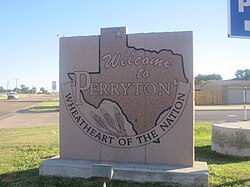 Welcome Sign (2010) | |
| Nickname: "Wheatheart of the Nation" | |
 Location of Perryton within Texas | |
 Perryton Location in the United States | |
| Coordinates: 36°23′30″N100°48′22″W / 36.39167°N 100.80611°W | |
| Country | United States |
| State | Texas |
| County | Ochiltree |
| Founded | 1919 |
| Named after | George Perry |
| Area | |
• Total | 4.80 sq mi (12.43 km2) |
| • Land | 4.80 sq mi (12.43 km2) |
| • Water | 0 sq mi (0.00 km2) |
| Elevation | 2,927 ft (892 m) |
| Population | |
• Total | 8,492 |
| • Density | 1,769/sq mi (683.2/km2) |
| Time zone | UTC-6 |
| • Summer (DST) | UTC-5 (CDT) |
| ZIP code | 79070 |
| Area code | 806 |
| FIPS code | 48-56912 |
| GNIS ID | 2411406 [2] |
| Website | cityofperryton.com |
Perryton is a city in and the county seat of Ochiltree County, Texas, United States. [4] As of the 2020 census, the population of the city was 8,492. [3] It is located a few miles south of the Texas / Oklahoma state line.