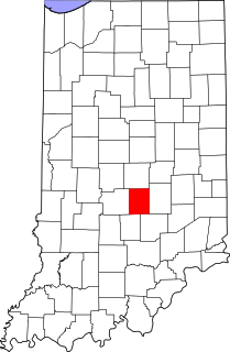
This is intended to be a complete list of the properties and districts on the National Register of Historic Places in Vigo County, Indiana, United States. Latitude and longitude coordinates are provided for many National Register properties and districts; these locations may be seen together in a map.
This is a list of the National Register of Historic Places listings in Wayne County, Indiana.

This is a list of the National Register of Historic Places listings in Monroe County, Indiana.

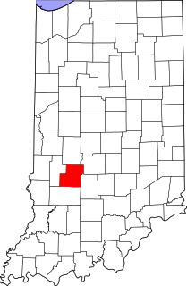
This is a list of the National Register of Historic Places listings in Parke County, Indiana.
This is a list of the National Register of Historic Places listings in Wabash County, Indiana.

This is a list of the National Register of Historic Places listings in Benton County, Indiana.

This is a list of the National Register of Historic Places listings in Blackford County, Indiana.
This is a list of the National Register of Historic Places listings in Brown County, Indiana.

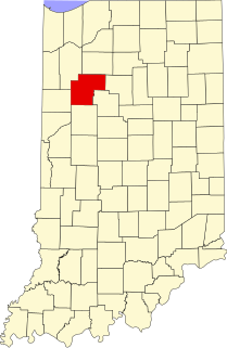
This is a list of the National Register of Historic Places listings in Cass County, Indiana.

This is a list of the National Register of Historic Places listings in Montgomery County, Indiana.

This is a list of the National Register of Historic Places listings in Washington County, Indiana.
This is a list of the National Register of Historic Places listings in Wells County, Indiana.
This is a list of the National Register of Historic Places listings in White County, Indiana.

This is a list of the National Register of Historic Places listings in Whitley County, Indiana.
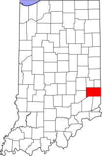
This is a list of the National Register of Historic Places listings in Franklin County, Indiana.

This is a list of the National Register of Historic Places listings in Hendricks County, Indiana.
This is a list of the National Register of Historic Places listings in Johnson County, Indiana.
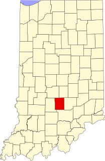
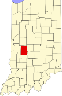
This is a list of the National Register of Historic Places listings in Owen County, Indiana.
This is a list of the National Register of Historic Places listings in Putnam County, Indiana.

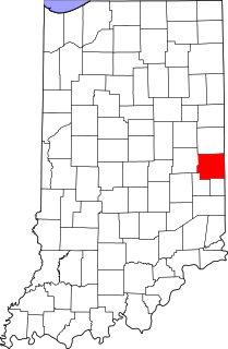
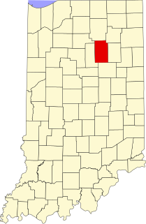
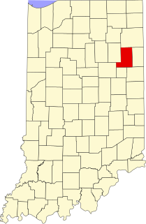
This is a list of the National Register of Historic Places listings in Grant County, Indiana.