Al-Maniya | |
|---|---|
| Arabic transcription(s) | |
| • Arabic | المانیا |
| • Latin | al-Minya (official) |
 | |
| Coordinates: 31°37′41″N35°12′59″E / 31.62806°N 35.21639°E | |
| State | State of Palestine |
| Governorate | Bethlehem |
| Government | |
| • Type | Village council |
| Area | |
• Total | 8,908 dunams (8.9 km2 or 3.4 sq mi) |
| Population (2017) [1] | |
• Total | 1,346 |
| • Density | 150/km2 (390/sq mi) |
| Name meaning | Kh. el Minyeh: the ruin of el Minyeh [2] |
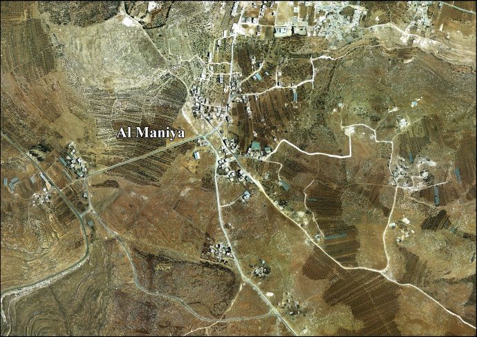
Al-Maniya (Arabic : المانیا, also spelled al-Minya) is a Palestinian village in the Bethlehem Governorate in the central West Bank, 8.6 km southeast of Bethlehem and just south of Tuqu'. It incorporates the nearby hamlet of Wadi Muhammad within its jurisdiction. Most of the village, including much of its built-up area, is in Area C, giving the Israeli military full control over the village. It had a population of 1,346 in the 2017 census by the Palestinian Central Bureau of Statistics. [1]
