Alread | |
|---|---|
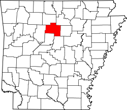
 Alread Location in Arkansas  Alread Location in the United States | |
| Coordinates: 35°37′58″N92°40′48″W / 35.63278°N 92.68000°W [1] | |
| Country | United States |
| State | Arkansas |
| County | Van Buren |
| Elevation | 1,680 ft (510 m) |
| GNIS feature ID | 56905 [1] |
Alread is an unincorporated community in Van Buren County, Arkansas, United States.