Alteglofsheim

Last updated
Alteglofsheim
Kapelle Nepomuk Alteglofsheim 01.jpg
Church square with the Chapel of Saint John of Nepomuk and the Church of Saint Lawrence
Wappen von Alteglofsheim.svg
Coat of arms
Location of Alteglofsheim within Regensburg district
Alteglofsheim in R.svg
Germany adm location map.svg
Red pog.svg
Alteglofsheim
Bavaria location map.svg
Red pog.svg
Alteglofsheim
Coordinates: 48°55′12″N12°12′13″E / 48.92000°N 12.20361°E / 48.92000; 12.20361 Coordinates: 48°55′12″N12°12′13″E / 48.92000°N 12.20361°E / 48.92000; 12.20361
Country Germany
State Bavaria
Admin. region Oberpfalz
District Regensburg
Municipal assoc. Alteglofsheim
Government
   Mayor (202026) Herbert Heidingsfelder [1] (FW)
Area
  Total13.23 km2 (5.11 sq mi)
Elevation
364 m (1,194 ft)
Population
 (2020-12-31) [2]
  Total3,283
  Density250/km2 (640/sq mi)
Time zone UTC+01:00 (CET)
  Summer (DST) UTC+02:00 (CEST)
Postal codes
93087
Dialling codes 09453
Vehicle registration R
Website www.alteglofsheim.de

Alteglofsheim is a municipality in the district of Regensburg in Bavaria in Germany.

The village was the site of a famous moonlight cavalry action on the evening of the Battle of Eckmühl on 22 April 1809. South of Alteglofsheim, 32 squadrons of Austrian Empire cavalry were defeated by as many as 60 squadrons belonging to the First French Empire, the Kingdom of Bavaria, and the Kingdom of Württemberg. [3]

Related Research Articles

Petting, Bavaria Place in Bavaria, Germany

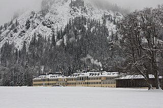
Petting is a municipality in the district Traunstein, Bavaria, Germany. It is located on the shore of the Waginger See, a diluvial lake.

Sulzbach-Rosenberg Place in Bavaria, Germany

Sulzbach-Rosenberg is a municipality in the Amberg-Sulzbach district, in Bavaria, Germany. It is situated approximately 14 km northwest of Amberg, and 50 km east of Nuremberg. The town consists of two parts: Sulzbach in the west, and Rosenberg in the east.

Tyrlaching Place in Bavaria, Germany

Tyrlaching is a municipality in the district of Altötting in Bavaria, Germany. It is part of the municipal association (Verwaltungsgemeinschaft) Kirchweidach.

Bischofswiesen Place in Bavaria, Germany

Bischofswiesen is a municipality in the district of Berchtesgadener Land in Bavaria in Germany.

Böhmfeld Place in Bavaria, Germany

Böhmfeld is a municipality in the district of Eichstätt in Bavaria in Germany.

Wörth, Upper Bavaria Place in Bavaria, Germany

Wörth is a municipality in the district of Erding in Bavaria in Germany.

Niederaichbach Place in Bavaria, Germany

Niederaichbach is a municipality in the district of Landshut in Bavaria in Germany.

Kreuth Place in Bavaria, Germany

Kreuth is a municipality in the district of Miesbach in Bavaria in Germany.

Schönberg, Upper Bavaria Place in Bavaria, Germany

Schönberg is a municipality in the district of Mühldorf in the Upper Bavaria region of Bavaria, Germany.

Sauerlach Place in Bavaria, Germany

Sauerlach is a municipality in the district of Munich in Bavaria in Germany.

Kirchendemenreuth Place in Bavaria, Germany

Kirchendemenreuth is a municipality in the district of Neustadt an der Waldnaab in Bavaria, Germany. It includes the village (Dorf) of Steinreuth.

Leuchtenberg Place in Bavaria, Germany

Leuchtenberg is a municipality in the district of Neustadt an der Waldnaab in Bavaria, Germany, essentially a suburb of nearby Weiden in der Oberpfalz, and a larger historical region in the Holy Roman Empire governed by the Landgraves of Leuchtenberg.

Schlammersdorf Place in Bavaria, Germany

Schlammersdorf is a municipality in the district of Neustadt an der Waldnaab in Bavaria, Germany.

Störnstein Place in Bavaria, Germany

Störnstein is a municipality in the district of Neustadt an der Waldnaab in Bavaria, Germany.

Breitenberg, Lower Bavaria Place in Bavaria, Germany

Breitenberg is a municipality in the district of Passau in Bavaria in Germany. It lies on the border with Austria, and is the easternmost municipality of Bavaria.

Fürstenstein Place in Bavaria, Germany

Fürstenstein is a municipality in the district of Passau in Bavaria in Germany.

Schierling Place in Bavaria, Germany

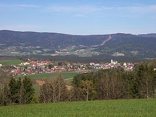
Schierling is a municipality in the district of Regensburg in Bavaria in Germany.

Babensham Place in Bavaria, Germany

Babensham is a municipality in the district of Rosenheim in Bavaria in Germany. It lies on the river Inn.

Altenmarkt an der Alz Place in Bavaria, Germany

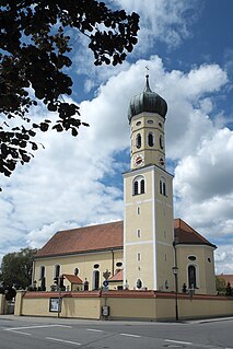
Altenmarkt an der Alz is a municipality in the district of Traunstein in Bavaria, Germany.

Pfaffenhausen Place in Bavaria, Germany

Pfaffenhausen is a municipality in the district of Unterallgäu in Bavaria, Germany. The town is seat of a municipal association with Breitenbrunn, Swabia, Oberrieden, Bavaria and Salgen.

References

  1. Liste der ersten Bürgermeister/Oberbürgermeister in kreisangehörigen Gemeinden, Bayerisches Landesamt für Statistik, 15 July 2021.
  2. "Tabellenblatt "Daten 2", Statistischer Bericht A1200C 202041 Einwohnerzahlen der Gemeinden, Kreise und Regierungsbezirke". Bayerisches Landesamt für Statistik und Datenverarbeitung (in German). June 2021.
  3. Petre, F. Loraine. Napoleon and the Archduke Charles. New York: Hippocrene Books, (1909) 1976. 180-181