| Site of Special Scientific Interest | |
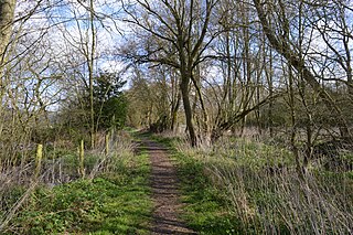
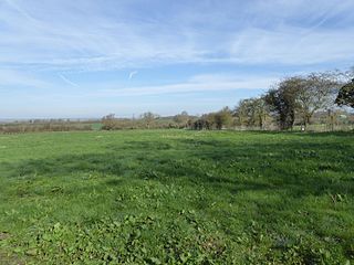
Footpath through Banhaw Wood | |
| Area of Search | Northamptonshire |
|---|---|
| Grid reference | SP 971 878 [1] |
| Interest | Biological |
| Area | 123.4 hectares [1] |
| Notification | 1986 [1] |
| Location map | Magic Map |

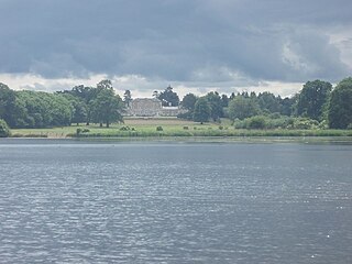
Banhaw, Spring and Blackthorn's Woods is a 123.4 hectare biological Site of Special Scientific Interest east of Corby in Northamptonshire. [1] [2]

A Site of Special Scientific Interest (SSSI) in Great Britain or an Area of Special Scientific Interest (ASSI) in the Isle of Man and Northern Ireland is a conservation designation denoting a protected area in the United Kingdom and Isle of Man. SSSI/ASSIs are the basic building block of site-based nature conservation legislation and most other legal nature/geological conservation designations in the United Kingdom are based upon them, including national nature reserves, Ramsar sites, Special Protection Areas, and Special Areas of Conservation. The acronym "SSSI" is often pronounced "triple-S I".

Corby is a town and borough in the county of Northamptonshire, England.

Northamptonshire, archaically known as the County of Northampton, is a county in the East Midlands of England. In 2015 it had a population of 723,000. The county is administered by Northamptonshire County Council and by seven non-metropolitan district councils. It is known as "The Rose of the Shires".
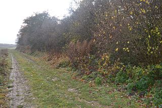
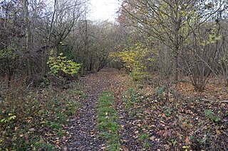
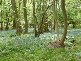
These woods are one of the largest remnants of the ancient Royal Forest of Rockingham. They are mainly ash and pedunculate oak on wet calcareous clay soils. The ground flora is diverse, and there are grasses such as tufted hair-grass, rough meadow-grass and wood melick. [3]
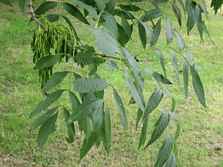
Fraxinus excelsior, known as the ash, or European ash or common ash to distinguish it from other types of ash, is a flowering plant species in the olive family Oleaceae. It is native throughout mainland Europe east to the Caucasus and Alborz mountains. The northernmost location is in the Trondheimsfjord region of Norway. The species is widely cultivated and reportedly naturalised in New Zealand and in scattered locales in the United States and Canada.
Calcareous is an adjective meaning "mostly or partly composed of calcium carbonate", in other words, containing lime or being chalky. The term is used in a wide variety of scientific disciplines.
There is access to Banhaw Wood by a footpath from Lower Benefield. [2]

Lower Benefield is a village on the A427 road in East Northamptonshire, England, near Oundle. It is part of the civil parish of Benefield. The population is included in the Civil Parish of Weston and Weedon.