
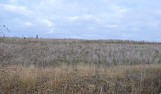
Charnwood Lodge is a 134.2-hectare (332-acre) biological and geological Site of Special Scientific Interest in Charnwood Forest, east of Coalville in Leicestershire. It is a national nature reserve, and contains two Geological Conservation Review sites. It is managed by the Leicestershire and Rutland Wildlife Trust.

Ketton Quarries is a 115.6-hectare (286-acre) biological and geological Site of Special Scientific Interest east of Ketton in Rutland. It is a Geological Conservation Review site, and an area of 27.5 hectares is managed by the Leicestershire and Rutland Wildlife Trust.

South Lodge Pit is a 0.5-hectare (1.2-acre) geological Site of Special Scientific Interest in Taplow in Buckinghamshire. It is a Geological Conservation Review site.
Warboys Clay Pit is a 12.6-hectare (31-acre) geological Site of Special Scientific Interest west of Warboys in Cambridgeshire. It is a Geological Conservation Review site.

Roade Cutting is a 15.2-hectare (38-acre) geological Site of Special Scientific Interest along the West Coast Main Line north from Roade in Northamptonshire. It is a Geological Conservation Review site.
Thrapston Station Quarry is a 4.5-hectare (11-acre) geological Site of Special Scientific Interest south of Thrapston in Northamptonshire. It is a Geological Conservation Review site. It was formerly called the Thrapston Midland Railway Station Quarry.

Blisworth Rectory Farm Quarry is a 1.0-hectare (2.5-acre) geological Site of Special Scientific Interest west of Blisworth in Northamptonshire. It is a Geological Conservation Review site.

Finedon Top Lodge Quarry, also known as Finedon Gullet is a 0.9-hectare (2.2-acre) geological Site of Special Scientific Interest east of Wellingborough in Northamptonshire. It is a Geological Conservation Review site revealing a sequence of middle Jurassic limestones, sandstones and ironstones, and is the type section for a sequence of sedimentary rocks known as the 'Wellingborough Member'. It was created by quarrying for the underlying ironstone for use at Wellingborough and Corby Steelworks; the ore was transported by the 1,000 mm gauge Wellingborough Tramway.

Cranford St John SSSI is a 2.8-hectare (6.9-acre) geological Site of Special Scientific Interest in Cranford St John, east of Kettering in Northamptonshire. It is a Geological Conservation Review site.

Neutral Farm Pit, Butley is a 1.1-hectare (2.7-acre) geological Site of Special Scientific Interest in Butley, east of Woodbridge in Suffolk. It is a Geological Conservation Review site, and is in the Suffolk Coast and Heaths Area of Outstanding Natural Beauty.
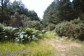
Breckland Forest is an 18,126 hectare biological and geological Site of Special Scientific Interest in many separate areas between Swaffham in Norfolk and Bury St Edmunds in Suffolk. It is part of the Breckland Special Protection Area under the European Union Directive on the Conservation of Wild Birds. It contains two Geological Conservation Review sites, Beeches Pit, Icklingham and High Lodge. Barton Mills Valley is a Local Nature Reserve in the south-west corner of the site.

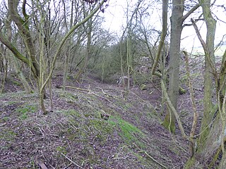
Gipsy Lane Pit is a 0.5 hectares geological Site of Special Scientific Interest in Leicester. It is a Geological Conservation Review site.

Shipton-on-Cherwell and Whitehill Farm Quarries is a 30-hectare (74-acre) geological Site of Special Scientific Interest north of Kidlington in Oxfordshire. It is a Geological Conservation Review site.

Kirtlington Quarry is a 3.1-hectare (7.7-acre) geological Site of Special Scientific Interest west of Kirtlington in Oxfordshire. It is a Geological Conservation Review site, and it is part of the 7.4-hectare (18-acre) Kirtlington Quarry Local Nature Reserve.

Ardley Cutting and Quarry is a 40.1-hectare (99-acre) biological and geological Site of Special Scientific Interest north-west of Bicester in Oxfordshire. It is a Geological Conservation Review site and an area of 11 hectares is managed by the Berkshire, Buckinghamshire and Oxfordshire Wildlife Trust as Ardley Wood Quarry. The site contains a Scheduled Monument, Ardley Wood moated ringwork, a Norman defended enclosure.

Sharp's Hill Quarry is a 2.4-hectare (5.9-acre) geological Site of Special Scientific Interest west of Banbury in Oxfordshire. It is a Geological Conservation Review site.
