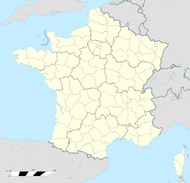
Eure-et-Loir is a French department, named after the Eure and Loir rivers. It is located in the region of Centre-Val de Loire. In 2019, Eure-et-Loir had a population of 431,575.

The arrondissement of Chartres is an arrondissement of France in the Eure-et-Loir department in the Centre-Val de Loire region. It has 148 communes. Its population is 209,218 (2016), and its area is 2,129.5 km2 (822.2 sq mi).

Berchères-Saint-Germain is a commune in the Eure-et-Loir department in northern France.

Berchères-sur-Vesgre is a commune in the Eure-et-Loir department in northern France.

Charbonnières is a commune in the Eure-et-Loir department in northern France.

Clévilliers is a commune in the Eure-et-Loir department and Centre-Val de Loire region of north-central France. It lies 13 km north-west of Chartres and some 80 km west-south-west of Paris.

Le Favril is a commune in the Eure-et-Loir department in northern France.

Lucé is a commune in the Eure-et-Loir department in northern France.

Mainvilliers is a commune in the Eure-et-Loir department in northern France.
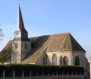
Le Mesnil-Simon is a commune in the Eure-et-Loir department in northern France.

Pierres is a commune in the Eure-et-Loir department in northern France.

Saint-Germain-le-Gaillard is a commune in the Eure-et-Loir department in northern France.

Saint-Jean-Pierre-Fixte is a commune in the Eure-et-Loir department in northern France.
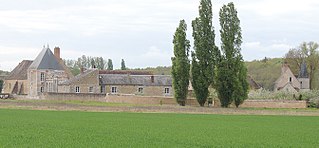
Saint-Maur-sur-le-Loir is a commune in the Eure-et-Loir department in northern France.

Serville is a commune in the Eure-et-Loir department in northern France.
The canton of Anet is an administrative division of the Eure-et-Loir department, northern France. Its borders were modified at the French canton reorganisation which came into effect in March 2015. Its seat is in Anet.
The canton of Chartres-2 is an administrative division of the Eure-et-Loir department, northern France. It was created at the French canton reorganisation which came into effect in March 2015. Its seat is in Chartres.
The canton of Chartres-1 is an administrative division of the Eure-et-Loir department, northern France. It was created at the French canton reorganisation which came into effect in March 2015. Its seat is in Chartres.

The canton of Chartres-Sud-Est is a former French administrative division located in the département of Eure-et-Loir in the région of Centre-Val de Loire. It had 23,692 inhabitants (2012).
Communauté d'agglomération Chartres Métropole is an intercommunal structure, centred on the city of Chartres. It is located in the Eure-et-Loir department, in the Centre-Val de Loire region, northern France. It was created in January 2013. Its seat is in Chartres. Its area is 858.3 km2. Its population was 136,218 in 2017, of which 38,578 in Chartres proper.