The Battle of Yaunis Khan was fought on October 28, 1516 between the Ottoman Empire and the Mamluk Sultanate. The Mamluk cavalry forces led by Janbirdi al-Ghazali attacked the Ottomans that were trying to cross Gaza on their way to Egypt. The Ottomans, led by Grand Vizier Hadım Sinan Pasha, were able to break the Egyptian Mamluk cavalry charge. Al-Ghazali was wounded during the confrontation, and the left-over Mamluk forces and their commander Al-Ghazali retreated to Cairo.
Kerteh is a mukim in Kemaman District, Terengganu, Malaysia.
Villaverde de Guadalimar is a municipality in Albacete, Castile-La Mancha, Spain. It has a population of 450.
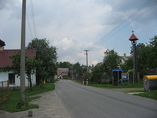
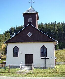
Slavníč is a small village in the Havlíčkův Brod District, Vysočina Region of the Czech Republic by the D1 motorway. 40 people live in Slavníč and it has 2,13 km². It was first documented in 1305.

La Lapa is a municipality located in the province of Badajoz, Extremadura, Spain. According to the 2006 census (INE), the municipality has a population of 314 inhabitants.
Katha Saghral, is a village and union council of Khushab District located in Punjab, Pakistan.
Pojorâta is a commune located in Suceava County, Romania. It is composed of two villages, Pojorâta and Valea Putnei.

Nănești is a commune located in Vrancea County, Romania. It is composed of three villages: Călienii Noi, Călienii Vechi and Nănești.
Bivolari is a commune in Iași County, Romania. It is composed of five villages: Bivolari, Buruienești, Soloneț, Tabăra and Traian.

Młodzawy Małe is a village in the administrative district of Gmina Pińczów, within Pińczów County, Świętokrzyskie Voivodeship, in south-central Poland. It lies approximately 9 kilometres (6 mi) south of Pińczów and 49 km (30 mi) south of the regional capital Kielce.
Rogożewek is a village in the administrative district of Gmina Gostynin, within Gostynin County, Masovian Voivodeship, in east-central Poland. It lies approximately 6 kilometres (4 mi) north-east of Gostynin and 105 km (65 mi) west of Warsaw.
Emolinek is a village in the administrative district of Gmina Zakroczym, within Nowy Dwór Mazowiecki County, Masovian Voivodeship, in east-central Poland. It lies approximately 8 kilometres (5 mi) west of Zakroczym, 12 km (7 mi) west of Nowy Dwór Mazowiecki, and 42 km (26 mi) north-west of Warsaw.
Bolman is a settlement in the region of Baranja, Croatia. Administratively, it is located in the Jagodnjak municipality within the Osijek-Baranja County. Population is 450 people.
Hương Sơn is a commune (xã) and village in Lạng Giang District, Bắc Giang Province, in northeastern Vietnam.
El Fedjoudj is a town and commune in Guelma Province, Algeria. According to the 1998 census it has a population of 7,473.
Kuyaba was one of the three centers of the Rus or Saqaliba described in a lost book by Abu Zayd al-Balkhi and mentioned in works by some of his followers . The two other centers were Slawiya and Arthaniya.
Yaylapalamut, Kaş is a village in the District of Kaş, Antalya Province, Turkey.

Emirhacı is a small village in Gülnar district of Mersin Province, Turkey. The village is situated in the Toros Mountains and to the south of Gülnar at 36°31′N33°27′E. The distance to Gülnar is 10 kilometres (6.2 mi) and to Mersin is 160 kilometres (99 mi). The population of the village was 64 as of 2012. Emirhacı was a part of Beydili village up to 1953 when it was declared a village. The ancient (Luvian) castle Meydancık is situated to the west of the village.

Mancınık Castle is a Hellenistic castle ruin in Mersin Province, Turkey.
Tahtaya is a Syrian village located in Hish Nahiyah in Maarrat al-Nu'man District, Idlib. According to the Syria Central Bureau of Statistics (CBS), Tahtaya had a population of 1298 in the 2004 census.


