Medjez Amar مجاز عمار | |
|---|---|
Commune and town | |
 | |
 | |
 Medjez Amar | |
| Coordinates: 36°26′43″N7°18′38″E / 36.44528°N 7.31056°E | |
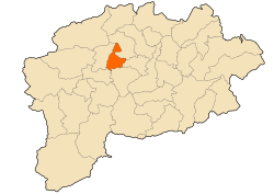
| Country | Algeria |
| Province | Guelma Province |
| District | Houari Boumédienne District |
| Population (2008) | |
• Total | 7,703 |
| Time zone | UTC+1 (CET) |
Medjez Amar is a town and commune in Guelma Province, Algeria. According to the 1998 census it has a population of 6,426. [1]
