| Bray Wick | |
|---|---|
| Village | |
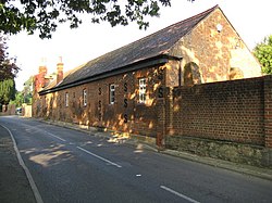 Braywick Nature Centre | |
 Bray Wick Location within Berkshire | |
| OS grid reference | SU8979 |
| Shire county | |
| Region | |
| Country | England |
| Sovereign state | United Kingdom |
| Post town | Maidenhead |
| Postcode district | SL6 |
| Police | Thames Valley |
| Fire | Royal Berkshire |
| Ambulance | South Central |
Braywick (sometimes written as Bray Wick) is a linear suburb south of the town of Maidenhead in Berkshire, England. It was formerly part of the parish of Bray.