Buzançais | |
|---|---|
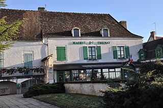
 Town hall | |
 Coat of arms | |
Location of Buzançais  | |
 Buzançais  Buzançais | |
| Coordinates: 46°53′27″N1°25′24″E / 46.8908°N 1.4233°E | |
| Country | France |
| Region | Centre-Val de Loire |
| Department | Indre |
| Arrondissement | Châteauroux |
| Canton | Buzançais |
| Government | |
| • Mayor (2020–2026) | Régis Blanchet [1] |
| Area 1 | 58.64 km2 (22.64 sq mi) |
| Population (2021) [2] | 4,504 |
| • Density | 77/km2 (200/sq mi) |
| Demonym | Buzançéen.ne |
| Time zone | UTC+01:00 (CET) |
| • Summer (DST) | UTC+02:00 (CEST) |
| INSEE/Postal code | 36031 /36500 |
| Elevation | 102–155 m (335–509 ft) (avg. 112 m or 367 ft) |
| 1 French Land Register data, which excludes lakes, ponds, glaciers > 1 km2 (0.386 sq mi or 247 acres) and river estuaries. | |
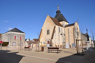
Buzançais (French pronunciation: [byzɑ̃sɛ] ) is a commune and town in the French department of Indre, administrative region of Centre-Val de Loire.
Contents
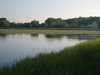
It is situated 22 km (14 mi) northwest of Châteauroux, the nearest large city, and is near the Brenne regional nature preserve located in the historical province of Berry. The Indre river flows through the commune.