Dianella is a suburb of Perth, Western Australia. It is within the local government area of the City of Stirling.

Yokine is a suburb of Perth, Western Australia. Its local government area is the City of Stirling.

Bassendean is a north-eastern suburb of Perth, Western Australia. Its local government area is the Town of Bassendean.

Cottesloe is a western suburb of Perth, Western Australia, within the Town of Cottesloe. Cottesloe was named for Thomas Fremantle, 1st Baron Cottesloe, a prominent Tory politician and the brother of Admiral Sir Charles Fremantle for whom the city of Fremantle was named. The nearby suburb of Swanbourne was named for the Fremantle family seat, Swanbourne House, in Swanbourne, Buckinghamshire.

Kalamunda is a town and eastern suburb of Perth, Western Australia, located in the Darling Scarp at the eastern limits of the Perth metropolitan area.

Bull Creek is a suburb of Perth, Western Australia, located within the local government area of City of Melville. The suburb lies to the south of a creek of the same name, which flows into the Canning River.

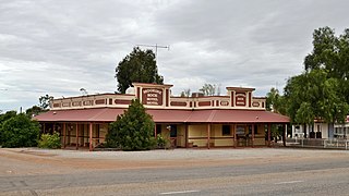
Moorine Rock is located in the eastern agricultural region of Western Australia, 347 km east of Perth and 22 km west south west of Southern Cross.

Meckering is a town 130 kilometres (80.8 mi) east of Perth, Western Australia along the Great Eastern Highway. Meckering is located within the Shire of Cunderdin.

East Perth is an inner suburb of Perth, Western Australia, located next to the Perth central business district. Claise Brook and Claisebrook Cove are within the suburb. Formerly characterised by industrial land uses and urban blight, the redevelopment of East Perth was, and remains, the largest inner-city urban renewal project in the state. The design of the new residential neighbourhoods was strongly influenced by the new urbanism movement.

Brentwood is a suburb of Perth, Western Australia, located within the City of Melville and approximately 10 kilometres (6.2 mi) from Perth city centre. The nearest airport is Perth Airport and the nearest railway station is Bull Creek.

Lathlain is an inner south eastern suburb of Perth, Western Australia. Its local government area is the Town of Victoria Park.

Woodbridge is a suburb of Perth, Western Australia, located within the City of Swan local government area. Formerly part of Midland and previously informally named West Midland, its name is from the original farm established in 1830.
Bickley is a suburb located within the City of Kalamunda, in Perth, Western Australia.

Pickering Brook is a suburb of Perth, Western Australia, located within the City of Kalamunda.

Walliston is a suburb of Perth, Western Australia, located within the City of Kalamunda.

Koolanooka is a small town in the MidWest region of Western Australia. It is situated between Morawa and Perenjori just off the Mullewa-Wubin road. At the 2006 census, Koolanooka had a population of 46.

Bilbarin is a small town in the Shire of Corrigin in the Wheatbelt region of Western Australia.

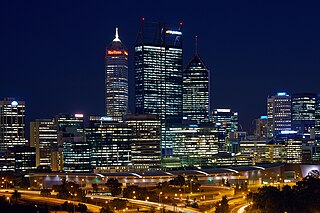
Perth is a suburb in the Perth metropolitan region, Western Australia that includes both the central business district of the city, and a suburban area spreading north to the northern side of Hyde Park. It does not include the separate suburbs of Northbridge or Highgate. Perth is split between the City of Perth and the City of Vincent local authorities, and was named after the city of the same name in Scotland.

Pithara is a small town in the wheatbelt region of Western Australia. It is located about 240 km north of Perth, in the Shire of Dalwallinu. At the 2011 census, Pithara had a population of 257, a 25% fall from the previous 2006 census.

Kununoppin is a small town in the Wheatbelt region of Western Australia. The town is located on the Nungarin–Wyalkatchem Road and in the Shire of Trayning local government area, 257 kilometres (160 mi) north east of the state capital, Perth, Western Australia. At the 2006 census, Kununoppin had a population of 151.


