
John Forrest National Park is a national park in the Darling Scarp, 24 km (15 mi) east of Perth, Western Australia. Proclaimed as a national park in November 1900, it was the first national park in Western Australia and the second in Australia after Royal National Park.
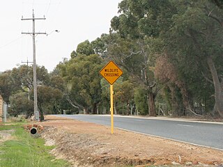
The Darling Scarp, also referred to as the Darling Range or Darling Ranges, is a low escarpment running north–south to the east of the Swan Coastal Plain and Perth, Western Australia. The escarpment extends generally north of Bindoon, to the south of Pemberton. The adjacent Darling Plateau goes easterly to include Mount Bakewell near York and Mount Saddleback near Boddington. It was named after the Governor of New South Wales, Lieutenant-General Ralph Darling.

Kalamunda is a town and eastern suburb of Perth, Western Australia, located in the Darling Scarp at the eastern limits of the Perth metropolitan area.

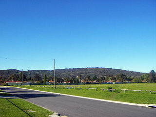
Forrestfield is a suburb of the City of Kalamunda in Western Australia. It lies 15 kilometres to the south-east of Perth at the base of the Darling Scarp and the southern border of Perth Airport.

Roleystone is a suburb of Perth, Western Australia in the south eastern corridor.

The Upper Darling Range Railway was a branch railway from Midland Junction, Western Australia], that rose up the southern side of the Helena Valley and on to the Darling Scarp via the Kalamunda Zig Zag. At the time of construction it was the only section of railway in Western Australia to have had a zig zag formation.

Karragullen is a suburb of Perth, Western Australia, located within the City of Armadale. Its postcode is 6111.

The Canning River is a major tributary of the Swan River in the South West Land Division of Western Australia. It is home to much wildlife including dolphins, pelicans, swans and many other bird species.
Bailup is a Western Australian locality and rural residential estate located 62 kilometres (39 mi) north-east of the state capital, Perth, along Toodyay Road. The population recorded at the 2016 census was 40. The area is split between the Shire of Toodyay and Shire of Mundaring, the latter of which contains most of the land area.
Bickley is a suburb located within the City of Kalamunda, in Perth, Western Australia.
Canning Mills is a suburb of Perth, Western Australia in the City of Kalamunda. The suburb was gazetted on 22 September 1972. Its name relates to the Canning River.
Carmel is a suburb of Perth, Western Australia, located within the City of Kalamunda.

Gooseberry Hill is a suburb of Perth, Western Australia, located within the City of Kalamunda. It is the site of Gooseberry Hill National Park.
Wattle Grove is a suburb of Perth, Western Australia, located within the City of Kalamunda.
Parkerville is a suburb in the Shire of Mundaring in Perth Western Australia.

The City of Armadale is a local government area in the southeastern suburbs of the Western Australian capital city of Perth, about 28 kilometres (17.4 mi) southeast of Perth's central business district. The City covers an area of 560 square kilometres (216 sq mi), much of which is state forest rising into the Darling Scarp to the east, and had a population of almost 80,000 as at the 2016 Census.

Kalamunda is an electoral district of the Legislative Assembly in the Australian state of Western Australia.
Lesmurdie Senior High School is a public co-educational high school in the Perth suburb of Lesmurdie, Western Australia.
Banyowla Regional Park, formerly Kelmscott-Martin Regional Park, is a conservation park in the Perth Hills, 20 kilometres south-east of Perth, Western Australia, located within the Cities of Gosnells and Armadale. The regional park was re-named in 2008 after Banyowla, who was a Noongar elder at the time of European settlement.

