Ormond is a suburb in Melbourne, Australia, 12 km south-east from Melbourne's central business district. Its local government area is the City of Glen Eira. At the 2016 Census, Ormond had a population of 8,417.

Mundijong is an outer suburb of the Western Australian capital city of Perth.

Denmark is a coastal town located on Wilson Inlet in the Great Southern region of Western Australia, 423 kilometres (263 mi) south-south-east of the state capital of Perth. At the 2016 census, Denmark had a population of 2,558; however, the population can be several times the base population during tourist seasons.

The Upper Darling Range Railway was a branch railway from Midland Junction, Western Australia], that rose up the southern side of the Helena Valley and on to the Darling Scarp via the Kalamunda Zig Zag. At the time of construction it was the only section of railway in Western Australia to have had a zig zag formation.

The Canning River is a major tributary of the Swan River in the South West Land Division of Western Australia. It is home to much wildlife including dolphins, pelicans, swans and many other bird species.

Jarrahdale is a small historic town located 45 km south-east of Perth, Western Australia in the Darling Range. The name is derived from its situation in a jarrah forest. Established in the late 1800s as the state's first major timber milling operation, it played a key role in the development of Western Australia through the exportation of jarrah around the world. At the 2016 census, Jarrahdale had a population of 1,192. Since 2001, the historic precinct has been managed by the state's National Trust organisation alongside private residential and tourism-oriented developments.

Gembrook is a town in Victoria, Australia, 54 kilometres (34 mi) south-east of Melbourne's Central Business District, located within the Shire of Cardinia local government area. Gembrook recorded a population of 2,350 at the 2016 Census.

Wokalup is a town located in the South West region of Western Australia along the South Western Highway, between Harvey and Brunswick Junction. At the 2006 census, Wokalup had a population of 449.

Dwarda is a small town in the Wheatbelt region of Western Australia, 11 kilometres (7 mi) south of the town of Wandering on the Hotham River.

Banksiadale is a locality and former town in the Peel region of Western Australia north of Dwellingup. Its local government area is the Shire of Murray.

Karridale is a small township in the south-west of Western Australia. It is located just north of Augusta and south of Margaret River between Caves Road and Bussell Highway. A newer township was built a short distance north east of the original Old Karridale following fires that destroyed the town in 1961. At the 2006 census, Karridale had a population of 285.

Hawthorndene is a south-eastern suburb located in the Foothills of the Mount Lofty Ranges of Adelaide, South Australia.

The Powelltown Tramway was a 3 ft narrow gauge tramway that operated between Powelltown and Yarra Junction, Victoria, Australia. It operated between 1913 and 1945.

Deanmill is a historic timber town located in the South West region of Western Australia, near Manjimup. Its postcode is 6258.

Redmond is a town in the Great Southern region of Western Australia. It is located 399 km south-south-east of Perth and the closest populated town is Albany.

Yelbeni is a small town 222 km east-northeast of Perth, Western Australia along the Nungarin-Wyalkatchem Road situated in the Wheatbelt region of Western Australia. At the 2006 census, Yelbeni had a population of 118.

Wilga is a small town located between Donnybrook and Boyup Brook in the South West region of Western Australia.
Millars' Karri and Jarrah Company (1902) Limited, commonly known as Millars, was a Western Australian focused timber and timber railway company.

Benwerrin is a rural locality in the Surf Coast Shire, Victoria, Australia.

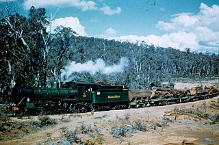
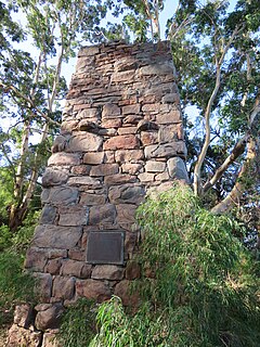
Mornington, also known as Mornington Mills, is the site of former timber saw mills and a community on the Darling Range in Western Australia. It was part of the operations of Millars Karri and Jarrah Forests Limited. At the 2016 census, the area had a population of 54.


