Clay Township | |
|---|---|
 Carmel Clay Public Library | |
 Location in Hamilton County | |
| Coordinates: 39°57′48″N86°08′54″W / 39.96333°N 86.14833°W | |
| Country | |
| State | |
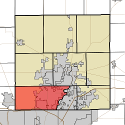
| County | Hamilton |
| Settled | 1802 |
| Organized | 1833 |
| Government | |
| • Type | Indiana township |
| • Trustee | Paul Hensel [1] |
| Area | |
• Total | 50.20 sq mi (130.03 km2) |
| • Land | 49.12 sq mi (127.23 km2) |
| • Water | 1.08 sq mi (2.80 km2) |
| Elevation | 843 ft (257 m) |
| Population | |
• Total | 99,093 |
| • Density | 2,017.2/sq mi (778.85/km2) |
| Time zone | UTC-5 (EST) |
| • Summer (DST) | UTC-4 (EDT) |
| ZIP codes | 46032, 46033, 46074, 46077, 46082, 46260, 46280, 46290 |
| Area codes | 317, 463 |
| FIPS code | 18-13060 |
| GNIS feature ID | 453209 |
Clay Township is one of nine townships in Hamilton County, Indiana, United States. As of the 2020 census, its population was 99,093. Since the annexation of Home Place, Indiana, Carmel is now completely coterminous with the township. [3]
