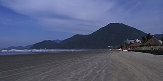
Guarapari is a coastal town of Espírito Santo, Brazil, a popular tourist destination. Its beach is famous for the high natural radioactivity level of its sand.

Cáceres is a municipality in the Brazilian state of Mato Grosso. It covers an area of 24,000 km² and as of 2022 had an estimated population of 89,681.

Castelo is a municipality in the southwest of the state of Espírito Santo in Brazil. Its population was 37,747 (2020) and its area is 664 km².

Peruíbe is a municipality in the state of São Paulo in Brazil. It is part of the Metropolitan Region of Baixada Santista. The population is 69,001 in an area of 324.55 square kilometres (125.31 sq mi). Peruíbe is located to the southwest of the city of São Paulo and west of Santos.

Angra dos Reis is a municipality located in the southern part of the Brazilian state of Rio de Janeiro. The city is located by the sea and includes in its territory many offshore islands, the largest being Ilha Grande.

Santa Catarina Island is an island in the Brazilian state of Santa Catarina, located off the southern coast. It is home to the state capital, Florianópolis.

São Francisco de Paula is a city in the Serra Gaúcha of the state of Rio Grande do Sul, Brazil. The municipality covers about 3,289.7 km2 (1,270.2 sq mi) and sits about 112 km (70 mi) from Porto Alegre. As of 2020, the city's population was estimated to be 21,801. The municipality was originally created on December 23, 1902.

Barra do Piraí is a municipality of the Brazilian state of Rio de Janeiro. It is located at latitude 22º28'12" South and longitude 43º49'32" East. Its population is 100,764 (2020) and its area is 578.471 km². It is 114 km from Rio de Janeiro.

Ananindeua is a city in Pará, northern Brazil. It is a part of the Metropolitan Region of Belém, and is the second most populated city in the State of Pará, and the third largest in the Brazilian Amazon region. It has a population of 535,547 according to the last estimation of 2020, done by the Brazilian Statistic and Geography Institute (IBGE).

Casimiro de Abreu is a municipality located in the Brazilian state of Rio de Janeiro. Its population was 46,110 (2022) and its area is 462 km2.

Guapimirim, is municipality in the Brazilian state of Rio de Janeiro around 50 km(31 miles) from its state capital, the city of Rio de Janeiro. Its in a region known as Baixada Fluminense and the Greater Rio de Janeiro metropolitan area.

Silva Jardim is a municipality located in the Brazilian state of Rio de Janeiro. Its population was 21,352 (2022) and its area is 937 km².

Valença is a municipality located in the Brazilian state of Rio de Janeiro. Its population was estimated at 76,869 in 2020 and its area is 1,305 square kilometres (504 sq mi). The city is the seat of the Roman Catholic Diocese of Valença.
Córrego do Veado Biological Reserve is a biological reserve in the municipality of Pinheiros, Espírito Santo, Brazil.
Córrego Grande Biological Reserve is a biological reserve spanning the boundary of Bahia and Espírito Santo, Brazil.

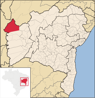
Formosa do Rio Preto is the westernmost and largest city in the Brazilian state of Bahia. It is also the largest in all Northeastern Brazil.

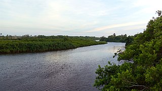
The Itaúnas River is a river of Espírito Santo state in eastern Brazil.
The Veado River is a river of Espírito Santo state in eastern Brazil. It is a tributary of the Santo Antônio River which in turn joins the Itaúnas River.

The Rio Preto National Forest is a national forest in the state of Espírito Santo, Brazil.

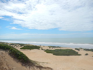
The Itaúnas State Park is a state park in the state of Espírito Santo, Brazil. It protects the lower reaches of the Itaúnas River and a strip of marshes, dunes and beaches along the Atlantic coast of the north of the state.


