
Salisbury is a town situated in Litchfield County, Connecticut, United States. The town is the northwesternmost in the state of Connecticut; the Connecticut-Massachusetts-New York tri-state marker is located at the northwestern corner of the town. The population was 4,194 at the 2020 census. The town is part of the Northwest Hills Planning Region.

U.S. Route 7 (US 7) is a north–south United States Numbered Highway in western New England that runs for 308 miles (496 km) through the states of Connecticut, Massachusetts, and Vermont. The highway's southern terminus is at Interstate 95 (I-95) exit 15 in Norwalk, Connecticut. Its northern terminus is at I-89 exit 22 near the village of Highgate Springs, Vermont, immediately south of the Canada–United States border.

New York State Route 199 is a 30.91-mile-long (49.74 km) state highway located in the Hudson Valley of the U.S. state of New York. Its western end is in Ulster County, where it begins as the continuation of the short U.S. Route 209 freeway east of its interchange with U.S. Route 9W; after crossing the Kingston–Rhinecliff Bridge over the Hudson River the rest of the highway crosses northern Dutchess County. As it does it passes through downtown Red Hook and Pine Plains, reaching its eastern end at U.S. Route 44 and State Route 22 southwest of Millerton in the upper Harlem Valley.

New Hampshire Route 25 is a 96.62-mile (155.49 km) long east–west state highway in New Hampshire. It runs completely across the state from Vermont to Maine.
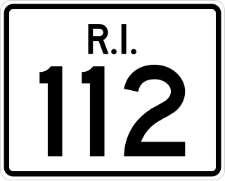
Route 112 is a numbered state highway running 8.5 miles (13.7 km) in the U.S. state of Rhode Island. It connects U.S. Route 1 (US 1) in the town center of Charlestown and Route 138 in the town of Richmond.

Iowa Highway 9 is the most northern of Iowa's east–west highways, traversing the entire northern tier of counties. It runs from the eastern terminus of South Dakota Highway 42 at the South Dakota border east of Sioux Falls, South Dakota near Benclare, to the Wisconsin border at Lansing where it continues as Wisconsin Highway 82. It is largely rural in character, bypassing any large city. Making a few dips north and south, the highway largely follows a very straight east–west alignment.
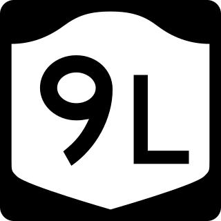
New York State Route 9L (NY 9L) is a state highway in Warren County, New York, in the United States. The road is 18.58 miles (29.90 km) long and is a suffixed highway of U.S. Route 9 (US 9). NY 9L goes through three municipalities in Warren County: the city of Glens Falls, the town of Queensbury and the town of Lake George. It starts at an intersection with US 9 and NY 32 in Glens Falls and ends at a junction with US 9 and NY 9N in Lake George. NY 9L is a scenic route for people traveling to Lake George as the road provides many views of the lake. The route was assigned as part of the 1930 renumbering of state highways in New York along the path of an old military road originally built during the American Revolution.
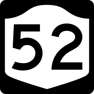
New York State Route 52 (NY 52) is a 108.72-mile-long (174.97 km) state highway in the southeastern part of the state. It generally runs from west to east through five counties, beginning at the Pennsylvania state line in the Delaware River near Narrowsburg, crossing the Hudson River on the Newburgh–Beacon Bridge, and ending in Carmel. NY 52 and NY 55, both major east–west routes of the Mid-Hudson Region, run parallel to each other, intersecting in downtown Liberty.

Route 4 is an east–west primary state highway connecting rural Litchfield County to the Greater Hartford area of the U.S. state of Connecticut. It runs 46.72 miles (75.19 km) from the town of Sharon to the town of West Hartford.

New York State Route 343 (NY 343) is a state highway located entirely within central Dutchess County, in the Hudson Valley region of the U.S. state of New York. It runs east–west from the intersection of NY 82 in the village of Millbrook to the town of Amenia, where it crosses the Connecticut state line and continues eastward as Route 343, a Connecticut state highway located entirely within the town of Sharon. Along the way, it has a 7.3-mile (11.7 km) concurrency with NY 22 from vicinity of the hamlet of Dover Plains to the hamlet of Amenia.
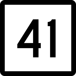
Route 41 is a 17.86-mile (28.74 km) scenic state highway in rural Northwestern Connecticut. It extends from the New York state line in Sharon to the Massachusetts state line in Salisbury and is the only state-numbered route in Connecticut that has both its ends at a state border.
Route 361 is a state highway in the northwestern section of the U.S. state of Connecticut, running from the town center of Sharon to the New York state line in Salisbury. The route was a former alignment of Route 4 from what is now Route 41 to the New York state line, where it continued as New York State Route 361. Route 361 in Connecticut was assigned when Route 4 was truncated in 1966. In 1980, New York decommissioned the continuation of Route 361 and reassigned it as Dutchess County Route 62.

Route 43 is a Connecticut state highway. It is 5.06 miles (8.14 km) long and runs north–south within the town of Cornwall. It connects the town center with the village of Cornwall Hollow near the Canaan town line.

State Route 37 (SR 37) is a 153.6-mile-long (247.2 km) state highway that travels west-to-east through portions of Clay, Calhoun, Baker, Mitchell, Colquitt, Cook, Berrien, Lanier, and Clinch counties in the southwestern and south-central parts of the U.S. state of Georgia. The highway connects the Alabama state line west of Fort Gaines to the Homerville area, via Newton, Camilla, Moultrie, Adel, and Lakeland. The highway actually serves as the eastern terminus of a long multi-state route that starts in Mississippi and goes through Alabama.

Route 87 is a Connecticut state highway running from Franklin to Andover, generally in a southeast–northwest direction. The route is part of the road connecting the towns of Norwich, Lebanon, Columbia, and Andover. Route 87 is a two-lane rural collector road for its entire length.

Route 128 is a minor state highway in northwestern Connecticut, running from U.S. Route 7 in Sharon to Route 4 in Cornwall.
Route 126 is a minor state highway in northwestern Connecticut, running from Route 63 in Canaan to U.S. Route 44 in North Canaan.

U.S. Route 44 (US 44) is an east–west United States Numbered Highway that runs for 237 miles (381 km) through four states in the Northeastern United States. The western terminus is at US 209 and New York State Route 55 (NY 55) in Kerhonkson, New York, a hamlet in the Hudson Valley region. The eastern terminus is at Route 3A in Plymouth, Massachusetts.

